unlimited user access to web dashboard

Unlimited User Access To Our Web System

By Map16, Web Dashboard

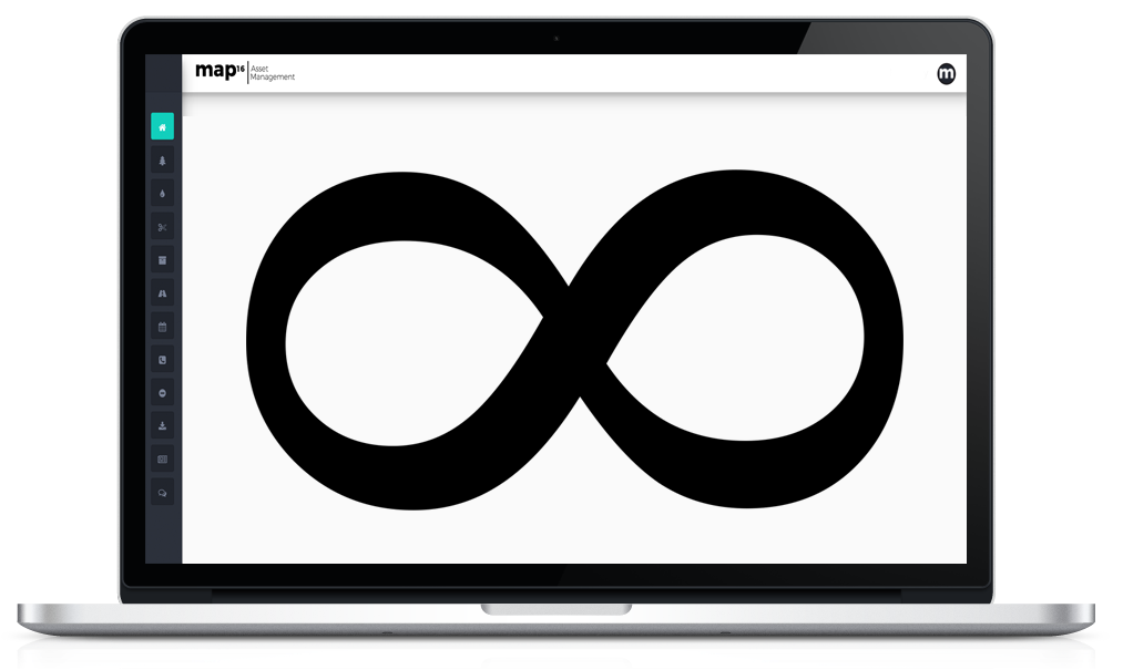
Why have a system that shows key data and reportable information, and be restricted by user access.

Here at map16 we believe in empowering more people to see the benefit of geographic data, through systems that do not need a huge amount of experience or training to operate. All our systems have been built with the end user in the forefront of our mind.

Giving more people access to live data and easy to use reports, will increase efficiencies across any business. Thats why as standard, map16 provides unlimited user access to our web system to all our clients. It is in their hands how many, or how little users have access to their system. We have found if more people have access to data, there is less emails, phone calls and inevitably less queries.

map16 - Web Dashboard

Why not use a system that answers your questions for you

No matter if your organisation has 2 users or 2000 users, we provide this level of accessibility free of charge. There is no extra cost for adding additional users as time goes on. We are flexible to everyones needs.

Get in touch and see what we can offer

0800 772 396

map16 become Ordnance Survey Partner

map16 Becomes An Ordnance Survey Partner

By Map16

map16 is now an Ordnance Survey Partner

map16 uses Ordnance Survey data to provide accurate data collection solutions for every highway asset or work stream. These include gully maintenance, grit bin maintenance, arboriculture, grass cutting, traffic signs and all other works carried out on UK highways. Our key focus is to provide solutions that give our clients an innovative approach to risk-based maintenance regimes. Geospatial information can be used to create a targeted and a more cost-effective approach to highway maintenance.


map16 ordnance survey partner


OS is Britain’s mapping agency. As well as making the most up-to-date and accurate maps of the country, it is also a digital business. Together with its Partners it provides content helping governments, companies and individuals to be more effective both here and around the world.

OS reveals our ever-changing landscape in extraordinary detail, giving the most comprehensive view of Britain. OS and its Partners share a vision to provide mapping that informs, guides and inspires.

Find Out More From The Ordnance Survey Website