grass cutting management

Grass Cutting Management

By Grass Cutting Management

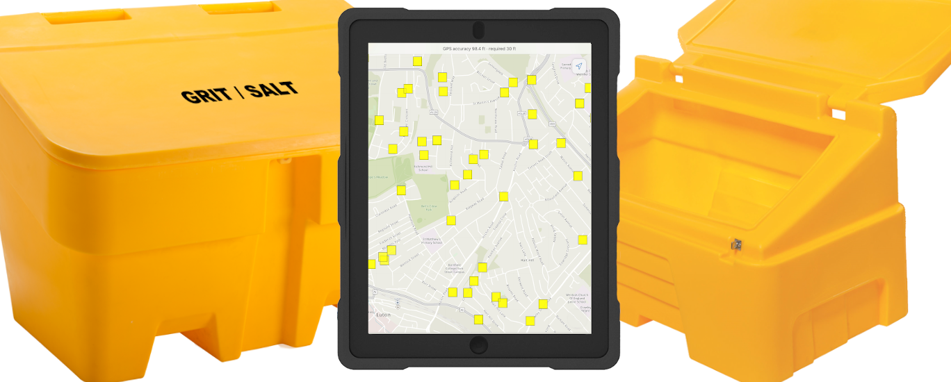
map16 offers a complete digital mapping service that allows it’s users to visualise and interact with areas that need grass cutting management. Areas that require grass cutting can be inspected using tablets by ground crews; they can select areas/lengths and highlight whether works have been completed successfully or not, all backed up with an unlimited amount of images. This simple process can clearly indicate works that have been undertaken across a given area.

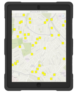
This use of technology allows the ground crews to know what has been completed and what needs to be completed next, just by looking at a map. This workflow gives crews less interruption and allows them to cover more area without the need for constant communication with office staff. It’s a simple method to improve productivity.


Office staff can access live data being collected by ground crews instantly by using map views, allowing them to revise or query what work the crews have done. Having this access makes sure that the time is being utilised in the best way.

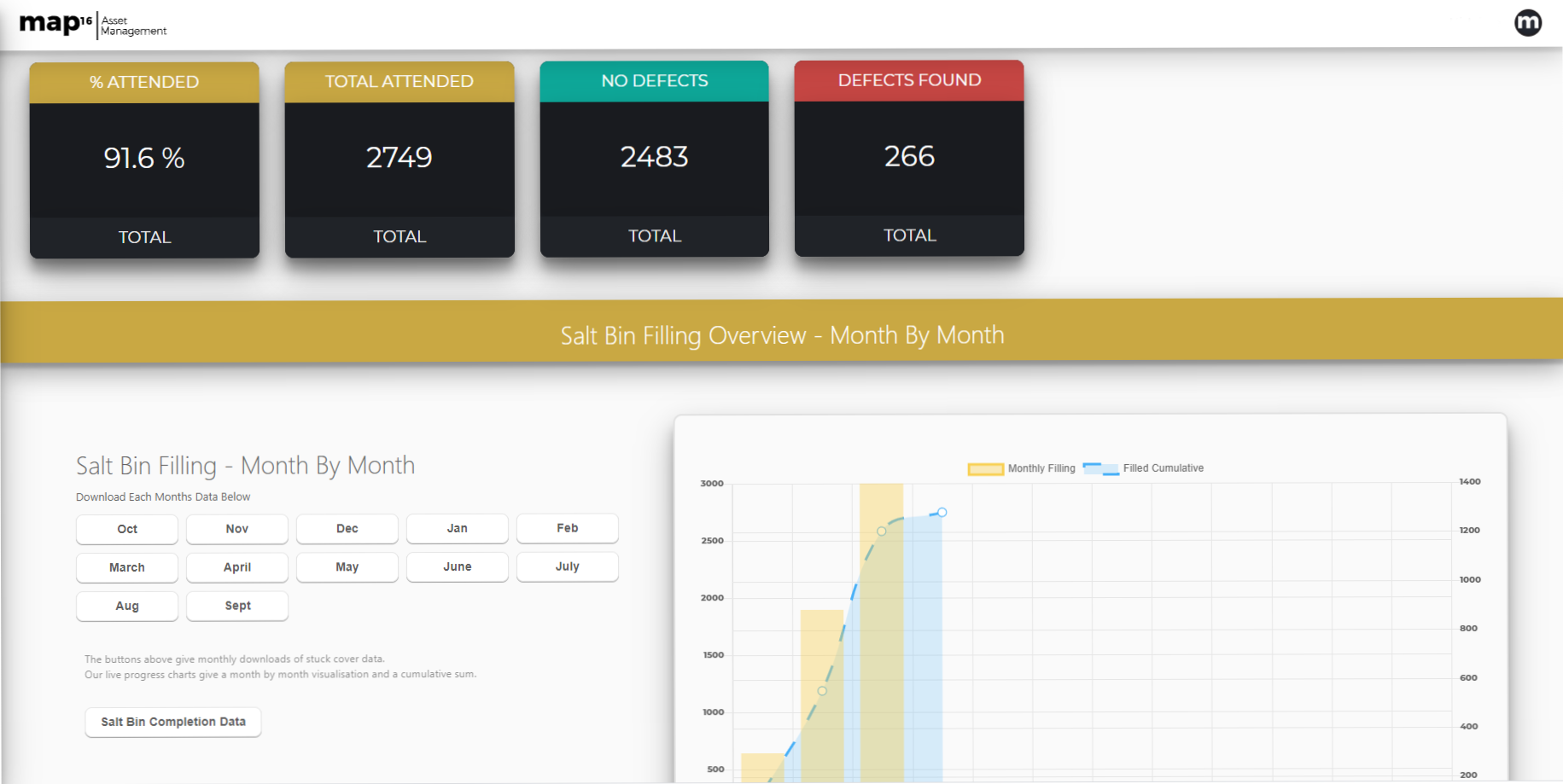
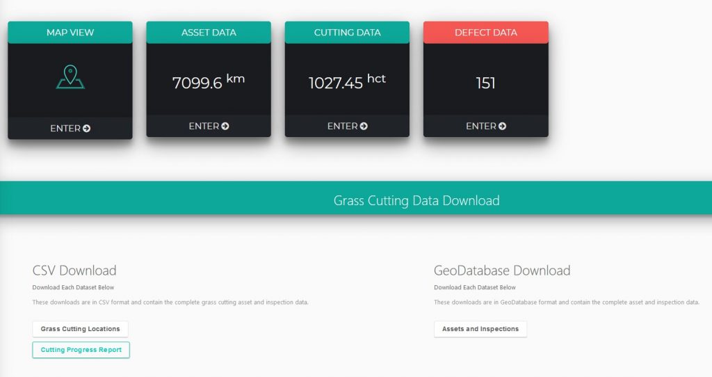
A unique dashboard visualises work completion, whether that be in kilometers or acres, and how much has been completed and how much remains. This way of showing information makes it quick and easy to process exactly where you are with your programme.

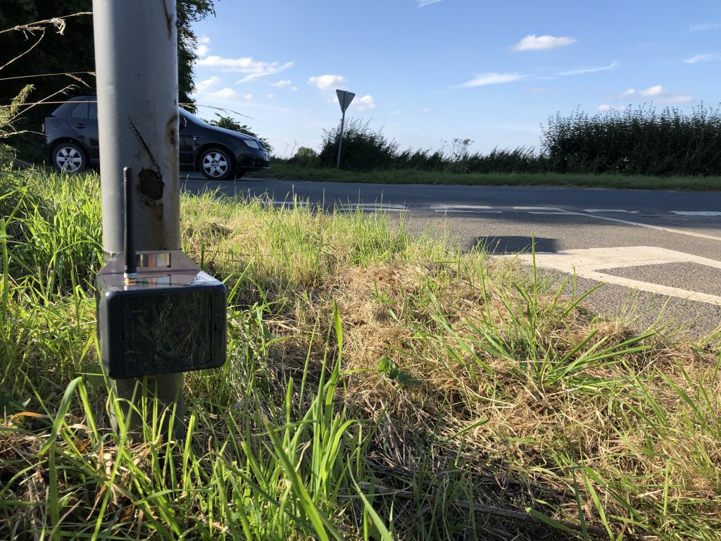
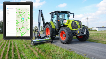
Here at map16, we have also developed the latest in grass cutting management sensor technology. These sensors have the capability to give you precise indications as to when a grass area needs to be cut. Our grass cutting sensor can take into account not only the height of grass but also the density, and with movements everywhere to help the local wildlife by leaving grass areas for as long as possible. This useful piece of technology can help with the process.

Set up can be based entirely around your specific parameters. The use of our system in this area has proven very successful and continues to draw interest – the simplicity of the interface and implementation makes day-to-day work straightforward for everyone.

CONTACT US

grit-bin-management

Improving Grit Bin Management

By Grit Bin Management

After a busy and successful 2019, we have kicked off the year with Volker Highways writing an article and CCS Best Practise Hub (Considerate Construction Scheme) posting it to their website, on how our system simplifies grit bin management, as well as how this way of working makes for everyday public safety, convenient and effective for both workers and the public.

CCS is a crucial and cornerstone faculty that was set up by the construction industry to improve its image and any direct/indirect activities that impact the industry. This includes the latest news and upcoming concepts.

grit bin

By having your grit bin assets within map16’s system, we provide dedicated dashboards, graphs and figures to visually show in-office personnel exactly what’s happening with resources, giving the option to download the data or to use the dashboard as the main hub – however you need to access the information, our system makes it seamless.

With the use of tablets, the crews inspect and can visualise the condition, salt level, defects and other necessary attributes relating to the assets. This reflects back to the office and with the ability to take unlimited photos as evidence, this allows authorities to stay on top of grit bin management.

‘Creates an effortless workstream


The design is tailored to meet our client’s needs with constant support from map16. As a result, this provides the contract operatives and local authorities the latest, up-to-date information about their assets, along with any urgent works that need to be carried out.

grit bin dashboard

Clients can have complete control over their system with our innovative and modern use of technology. This greatly increases working efficiency, cutting time to process reactive works against the assets. With the workforce’s insight and knowledge of the area and regular routine maintenance, this creates an effortless workstream for all parties and with this comes fewer causalities and greater precision.

Please follow the link for the original article: https://ccsbestpractice.org.uk/entries/improving-public-road-safety/


Contact Us