A lightweight, easily adaptable solution for collecting and managing your term maintenance assets


Managing assets on Term maintenance contracts can currently mean using different systems for each asset or workstream. This is often costly and cumbersome to train staff and get a seamless flow of data.
There are often instances on term maintenance contracts when inspections/assessments are carried out on paper which can result in inaccuracies and laborious admin time, as your current system has not got the functionality to cope with a multitude of different assets or work types.
Custom designed to meet each term maintenance contractual requirements while integrating every asset into one system
Our system is design to collect and manage any asset imaginable. Importantly not only do we have the ability and flexibility to create an asset data collection system for any type of asset but it also has a bespoke designed dashboard that has your key asset data accessible within two clicks.
What makes map16 unique is that we have the ability to not only provide you an asset management system but we also have the ability to give you access to key KPI information using the data you have collected to manage your performance on your contracts on your own bespoke dashboard.
One unified central dashboard gives client the ability to see any asset or workstream. Check out some of our term maintenance contract solutions below or CLICK HERE TO SEE ALL OUT SOLTUIONS;
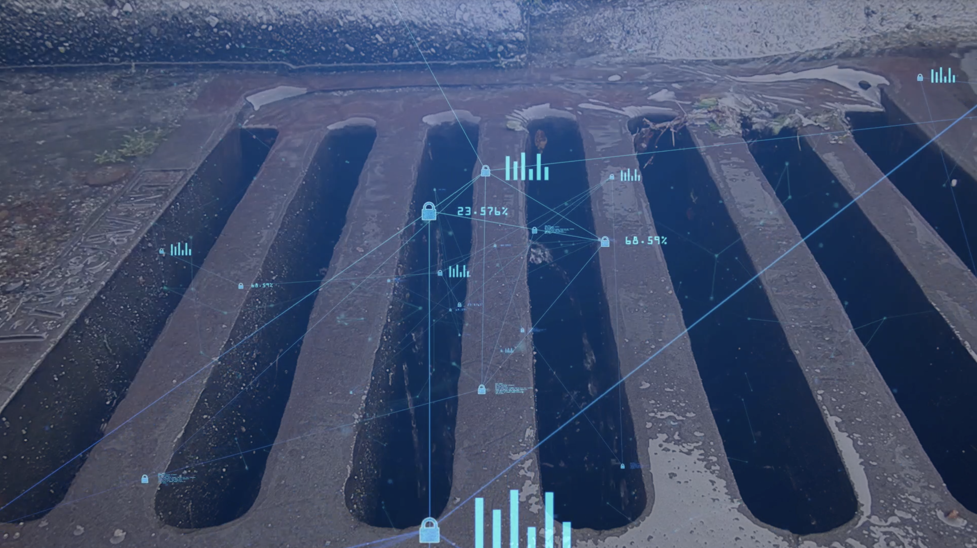
Gully Maintenance
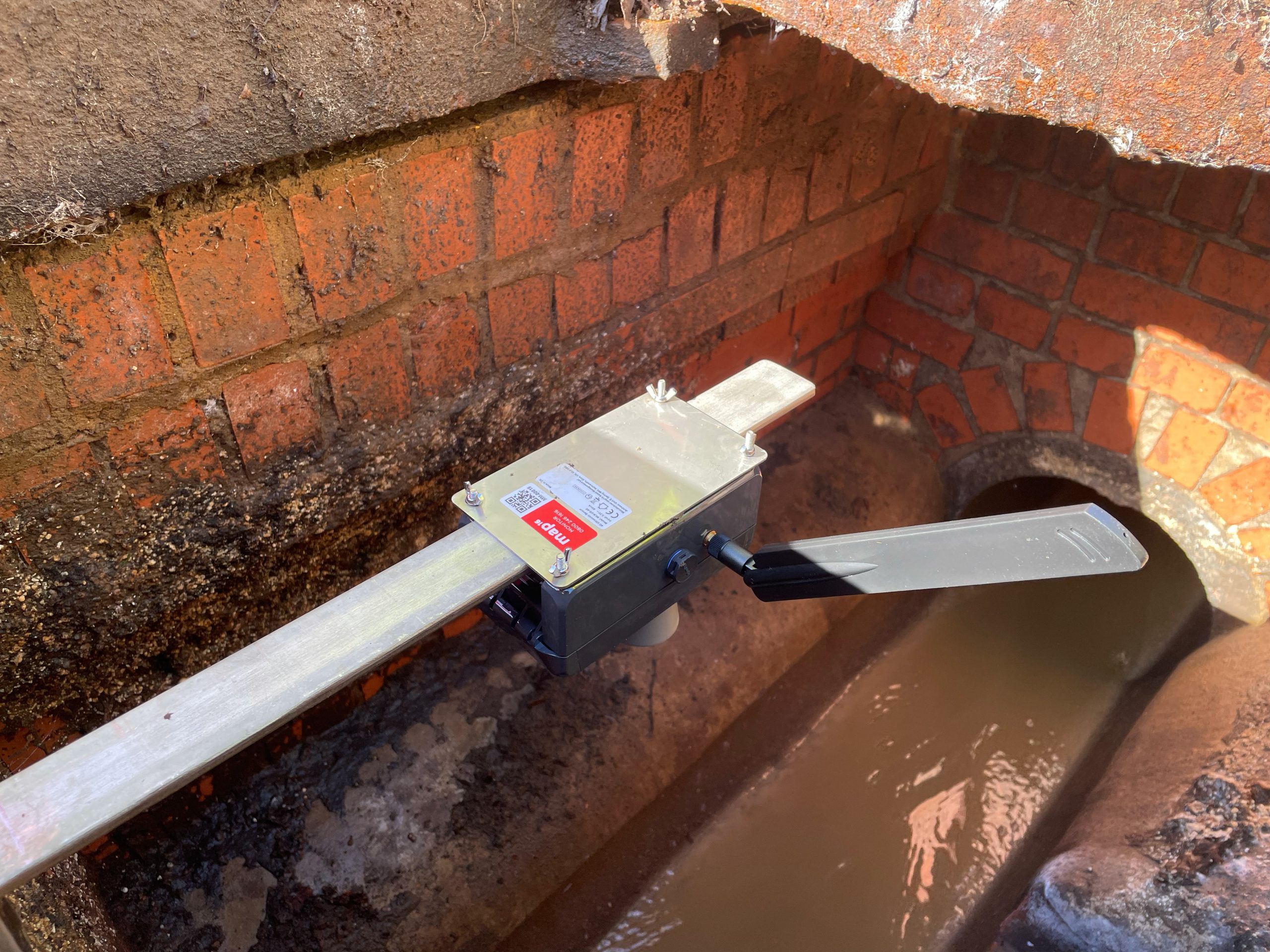
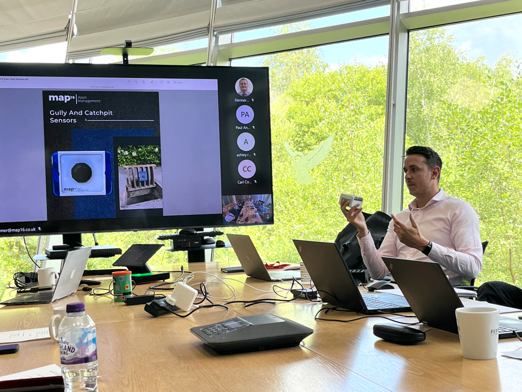
map16 has designed more than just a gully maintenance system. We are capable of collecting all drainage assets and inspection data, including routine cleansing of gullys, catchpits, soakaways, weir kerbs, grips, cattle grids and any other requirements. These can all be linked to mapped Linear drainage features to complete the most detailed picture of your network. A perfect drainage solution for term maintenance contracts where flexibility is vital.
Our solution is focussed on a risk based approach. Making key decision based on accurate data. Integrating all risk data including EA flood layers, silt levels, elevation models and insurance claims. Prioritise, optimise and reduce.
EXPLORE OUR SOLUTION
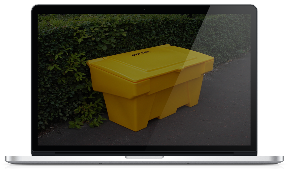
Grit Bin Management
map16 provides the complete grit bin management solution. Map all grit bin locations and collect digital grit bin filling records. Create bespoke inspection records with the ability to attach images or videos. Reduce operational costs by using a risk based approach to grit bin replenishment regimes.
FIND OUT MORE
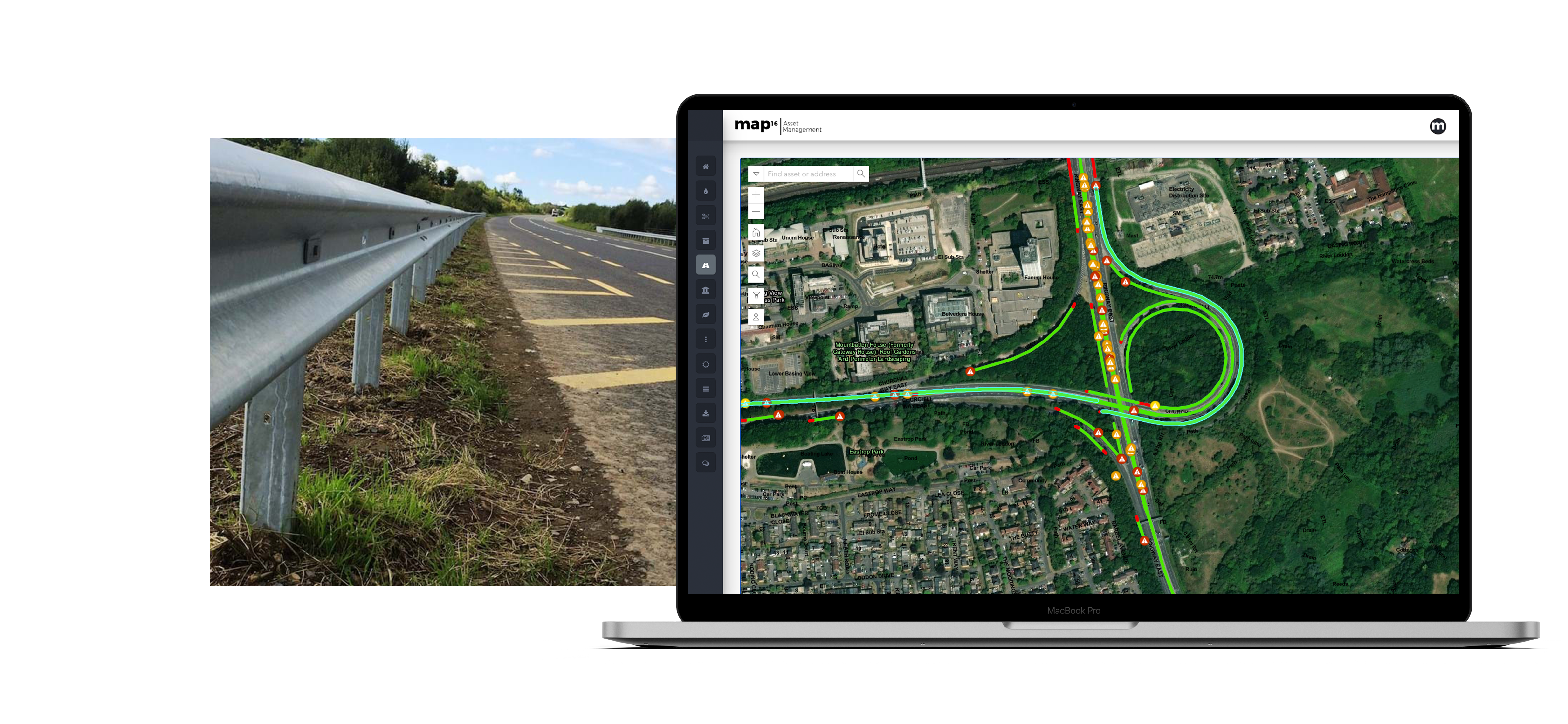
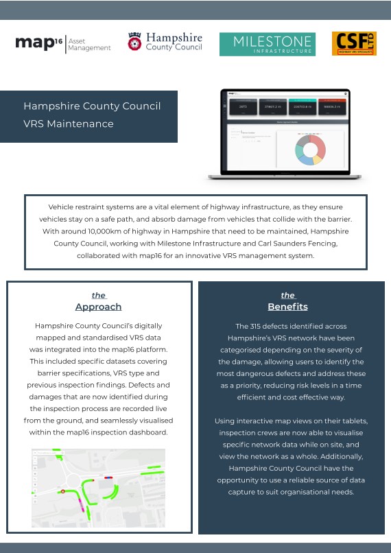
VRS – Safety Barriers
map16 provides the complete highway safety barrier mapping and management solution. Map all locations locations and collect digital inspection records. Create bespoke inspection records with the ability to attach images or videos. Our user friendly map interface shows live updates of current maintenance activities. It gives the ability to view assets, live inspections and historic data. Query, export and create maps. Remove the need for paper records, automate start and finish eastings and northing. Become more efficient using map16
EXPLORE OUR SOLUTIONS

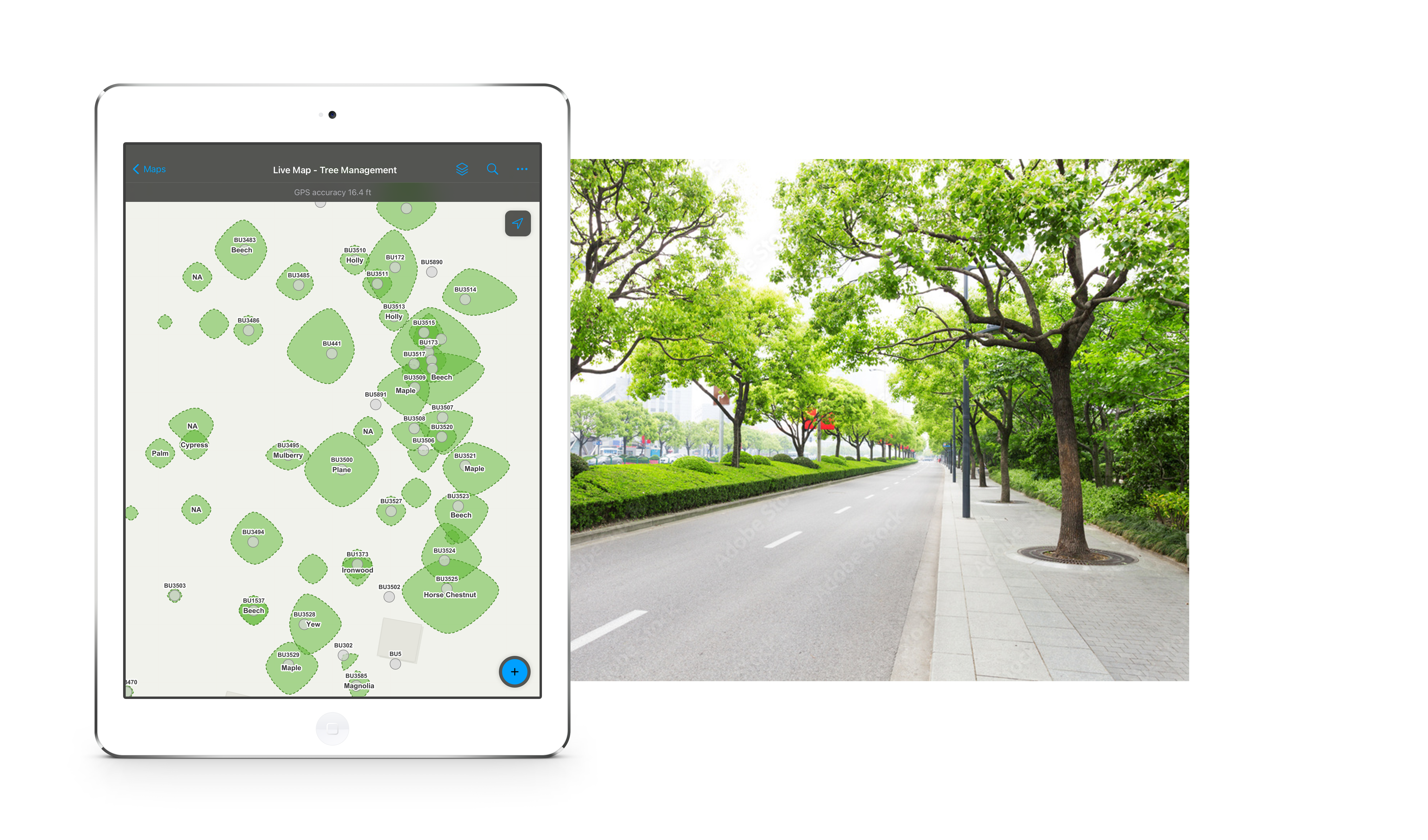
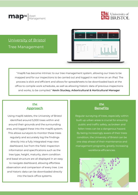
Tree Management
map16 provides a complete solution for tree management to the BS 5837 specification. Collect visualise and report. Our mobile app provides easy functionality, with increased user productivity whilst still capturing key tree data. Work offline anywhere and sync data when available.
Our tree management dashboard brings asset and inspection data together in a map based view, which provides decision makers with all the facts in one place. Smart visualisation based on maturity, height, canopy size, condition and environmental variables giving a broader perspective when making key decisions.
FIND OUT MORE

Invasive Weeds
map16 provides the complete solution for invasive weed mapping and management. Create accurate records of the area covered by the all types of invasive weeds, including Japanese Knotweed, Giant Hogweed, Mares Tail and Himalayan Balsam. Produce data in a GIS polygon to automatically calculate m2 coverage and shape on the highway. Improve asset inventories by logging new sites against existing client IDs, including collecting images automatically linked to collection data.
EXPLORE OUR SOLUTION

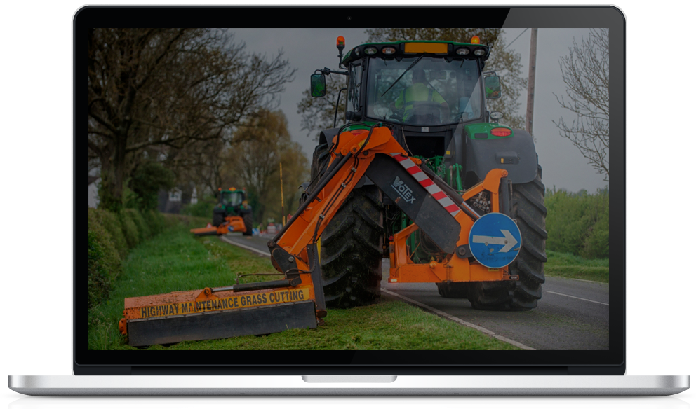
Grass Cutting
map16 provides the complete solution for grass cutting mapping and management. Utilise mapping technology to increase awareness and efficiency, bringing grass cutting into the digital age. Map grass cutting routes and areas, create bespoke cutting records with the ability to attach images or videos.
FIND OUT MORE
Planned & Reactive Works
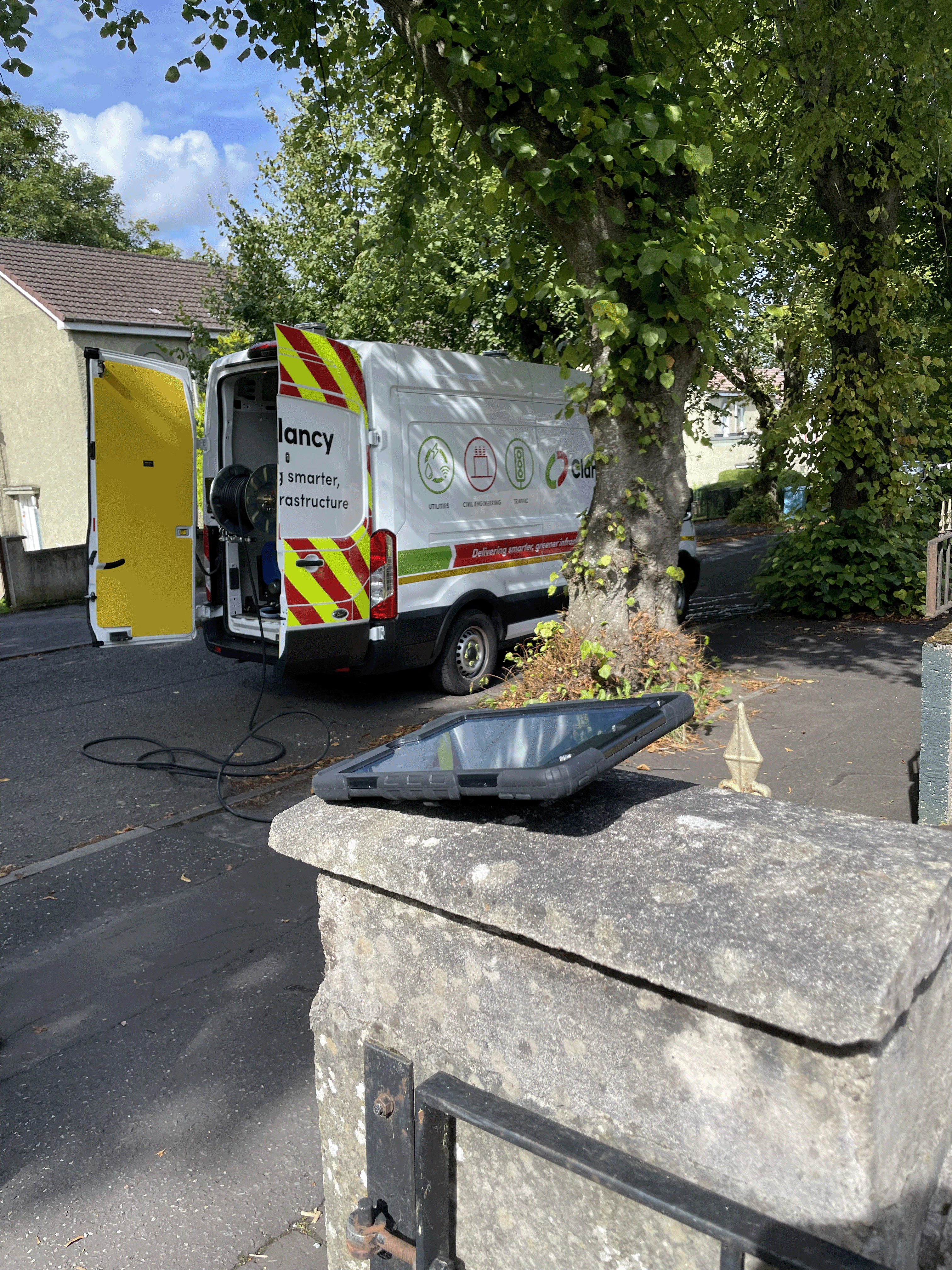
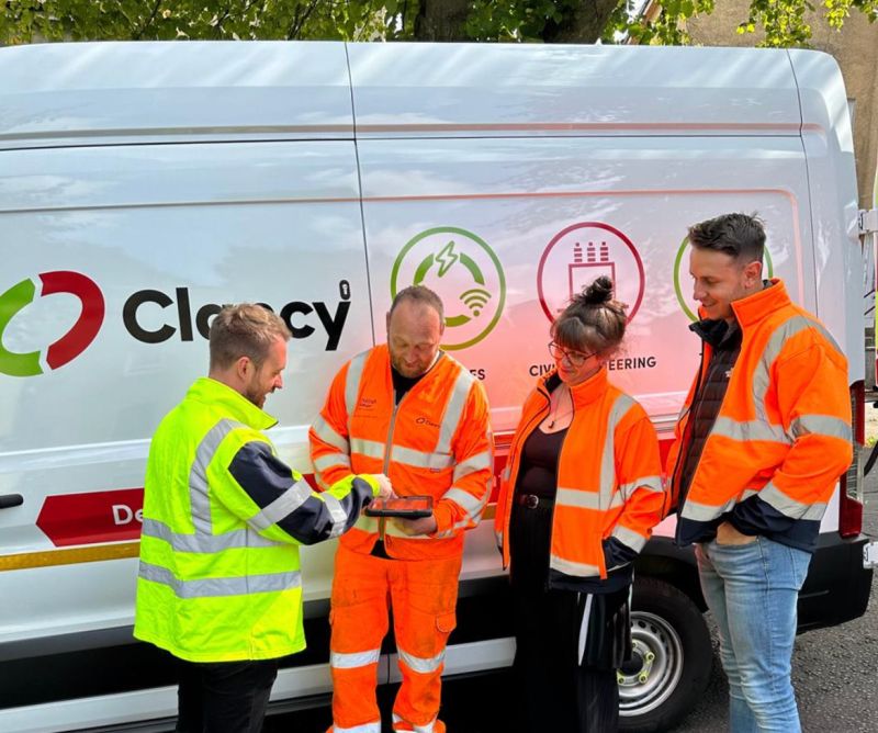
Our planned works solution covers all additional works being carried out on the highways networks. This includes high pressure jetting, CCTV drainage, remedial repairs and much more. We provide ruggedised mobile tablets with latest mobile data collection app. Collect all task order jobs, create bespoke records with the ability to map the surrounding infrastructure whilst on site. Creation of automated task logs, saving admin resource.
EXPLORE OUR SOLUTION