August Case Study – Charlton Environmental

By Invasive Weeds


“ Using the map16 system has enabled us to achieve higher work outputs due to the time saved routing/plotting sites. The efficiencies for the teams on site are further enhanced by the real-time data being fed back into the office and direct to clients, which can be exported and analysed far more efficiently and comprehensively than our previous system. The support from the team at map16 and their understanding of the requirement have been unparalleled. ”  Stephen John | Charlton Environmental

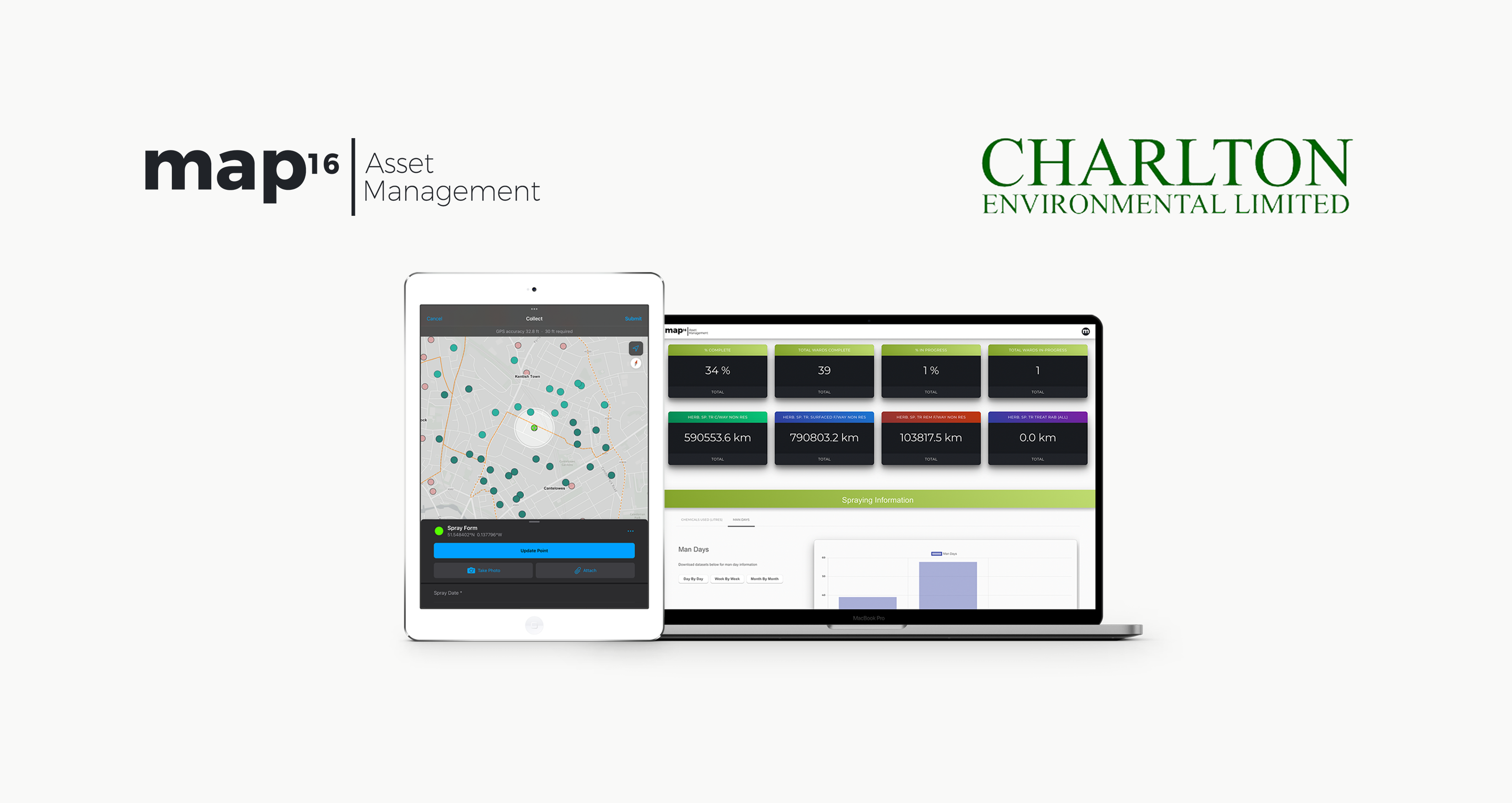
Responsible for controlling and treating invasive weeds around public areas within Hampshire and London Boroughs, Charlton Environmental needed an efficient, innovative way to map required works on street pavements, kerbs, central reservations, subways, shopping centres and parks, and collect inspection and treatment records.


The Approach 

map16 designed a system to do just this. Crews on the ground completing weed sprays can send maintenance data to the system live from the site, updating a bespoke designed service dashboard displaying data such as the total amounts of chemicals used, and the total number of sites completed. Users can navigate a map view dashboard to view specific spraying sites and spraying records, with detailed report information for specific sites available at the click of a button.

The Benefits

With the completely electronic data collection system, Charlton Environmental can ensure their data is up to date and accurate, ensuring maximum safety for the public and increasing their workforce productivity and efficiency.

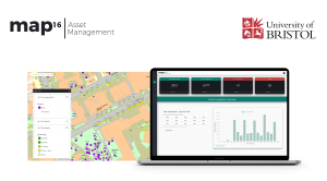
July Case Study – University of Bristol

By Tree Management


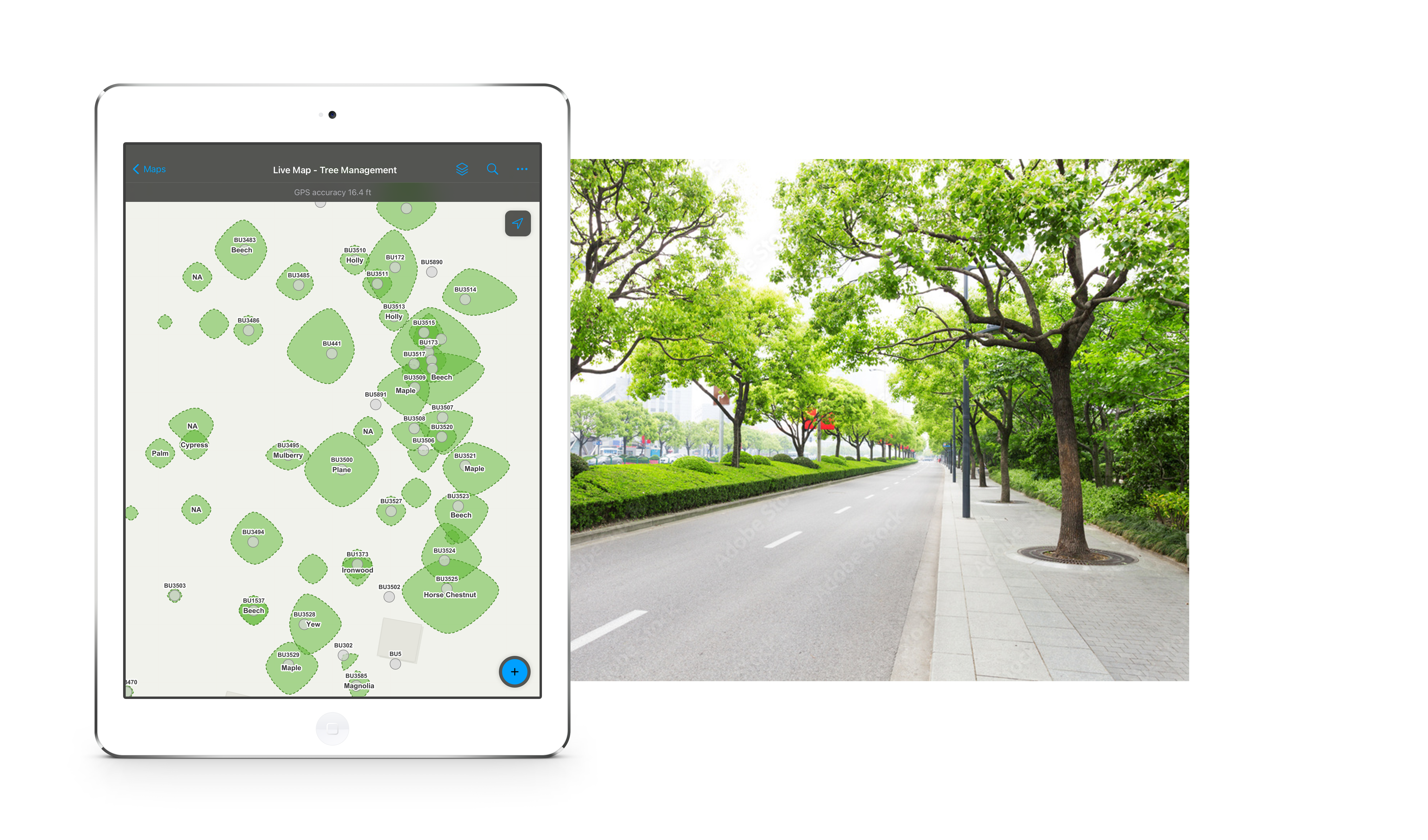
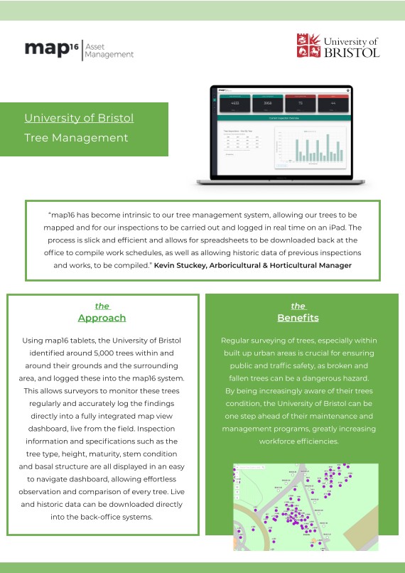
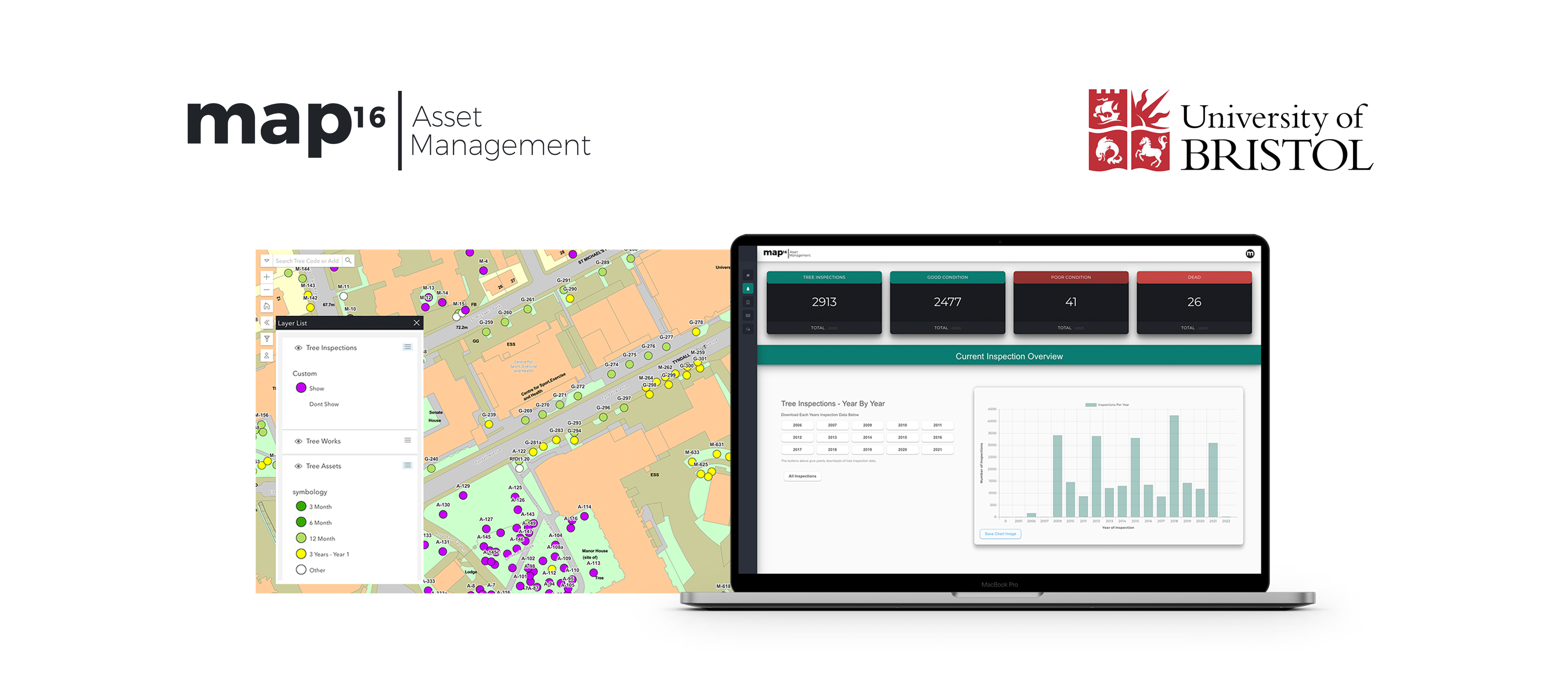
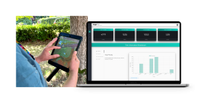
map16 has become intrinsic to our tree management system, allowing our trees to be mapped and for our inspections to be carried out and logged in real time on an iPad. The completed inspection and subsequent completed works are colour coded on the map to give a clear visual picture of working progress. The process is slick and efficient and allows for spreadsheets to be downloaded back at the office to compile work schedules, as well as allowing historic data of previous inspections and works to be compiled. ”  Kevin Stuckey | University of Bristol


The Approach 

Using map16 tablets, the University of Bristol identified around 5,000 trees within and around their grounds and the surrounding area, and logged these into the map16 system. This allows surveyors to monitor these trees as regularly as necessary, and accurately log the findings directly into a fully integrated map view dashboard, live from the field. Inspection information and specifications such as the tree type, height, maturity, stem condition and basal structure are all displayed in an easy to navigate dashboard, allowing effortless observation and comparison of every tree.

The Benefits

Regular surveying of trees, especially within built up urban areas is crucial for ensuring public and traffic safety, as broken and fallen trees can be a dangerous hazard if not dealt with. By being increasingly aware of their trees condition, the University of Bristol can be one step ahead of their maintenance and management programs, greatly increasing workforce efficiencies. Live and historic data can be downloaded directly into the back-office systems.

May Case Study – Welsh Government

By Gully Maintenance


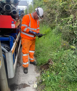
May’s case study comes from a project we’ve recently delved into with the Welsh Government, working with Drainforce to manage the Welsh Government’s drainage assets using our mobile data collection capabilities and bespoke asset dashboards.

Gully Maintenance Case Study

Client

Welsh Government & Drainforce

Project

Drainage Asset Management of Welsh Trunk Roads

Solution

map16 Asset Management platform for asset inspections and inventory updates


The Story


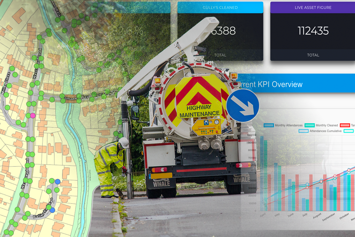
The Welsh Government’s trunk road network is currently split into three sections: SWTRA, MWTRA & NWTRA. The Welsh strategic road network covers 1,510 kilometres of trunk road, including six road tunnels and 178 kilometres of motorway. The Welsh Government engaged with map16 Asset Management to work together to develop a system to collect and manage drainage assets across their strategic road network. Our unique skillset allows us to assist the client with managing their asset inventories and updating asset conditions, all housed within a centralised platform. This has given the Welsh Government a deeper understanding of their assets, ultimately leading to a better service to the public.


"map16 was chosen as the main asset management and data collection platform for the 
Welsh Government’s drainage assets on their strategic trunk road network due to its ease 
of use and seamless integration into our Integrated Roads Information System (IRIS). 
Using map16 the Welsh Government has seen an increase in data accuracy allowing our teams to 
drive cleansing efficiencies across our network. Ultimately giving us the tools to 
manage our network more effectively."

David Denner
Highways Technology Manager, Welsh Government


Bringing life into asset management 

Initially, the problem lay in the Welsh Government having their assets managed by multiple systems depending on which agent was managing that part of the road network.  Some areas were using traditional paper methods of asset management, making it difficult to keep a centralised, up to date and accurate asset inventory, with a clear view of each assets condition. The Welsh Government also needed a platform to store all cleansing history in an easy to access location. 

Providing a complete solution for flood and drainage management

The next challenge came as different asset types throughout the network were being managed across separate systems. These included gully’s, catchpits, manholes, and linear drainage. Having all asset information in one place via an easy-to-use interface would become a real problem solver.

Future proofing the Government’s asset management strategy 

The Welsh Government knew they had to do something to future proof their asset management strategy for years to come. They needed a supplier who was able to design a bespoke solution for their requirements, thus being part of a long-term plan for the strategic road networks.

“We really enjoy working with the map16 team,
 the support they give us is excellent.

David Evans Director, Drainforce

The Approach


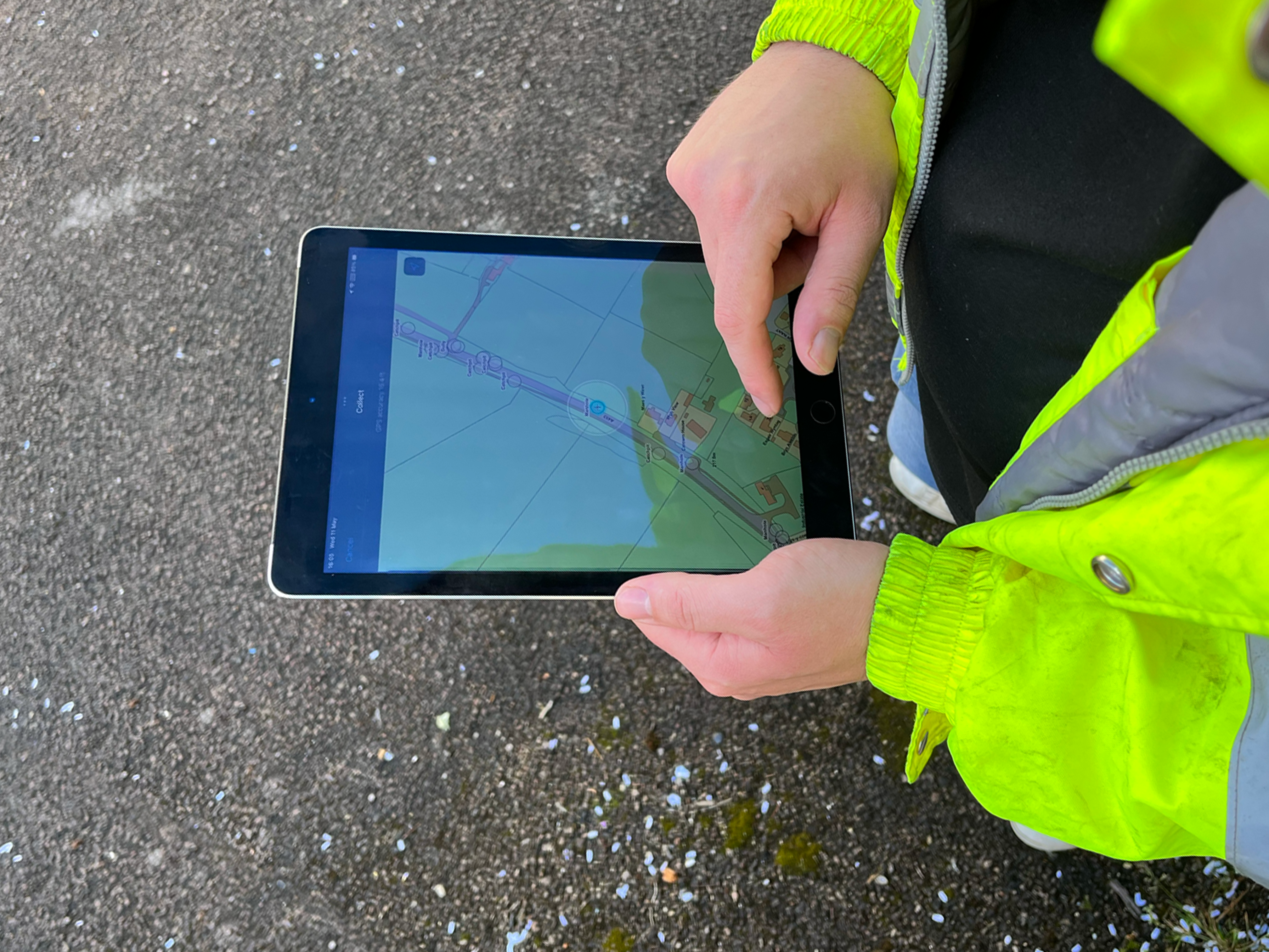
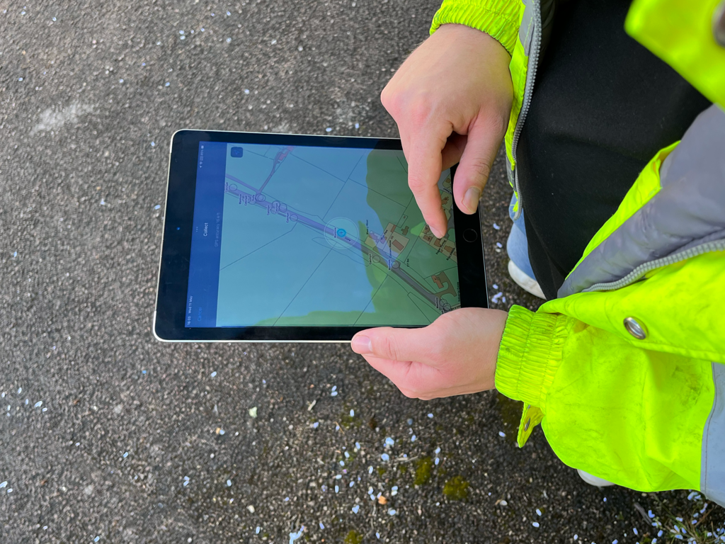
The Welsh Government engaged with map16 to design a bespoke system for agents in the area to go out and collect asset data live from the field on their strategic road network. They worked closely with us so we could design a bespoke solution for their requirements. Once designed, the client was able to collect and input asset data into the map16 platform using mobile devices.

Each asset is mapped to its precise location, with information such as:

  • Images
  • Silt Levels
  • Defects
  • Asset Name
  • Asset Location
  • Gully Inspection History

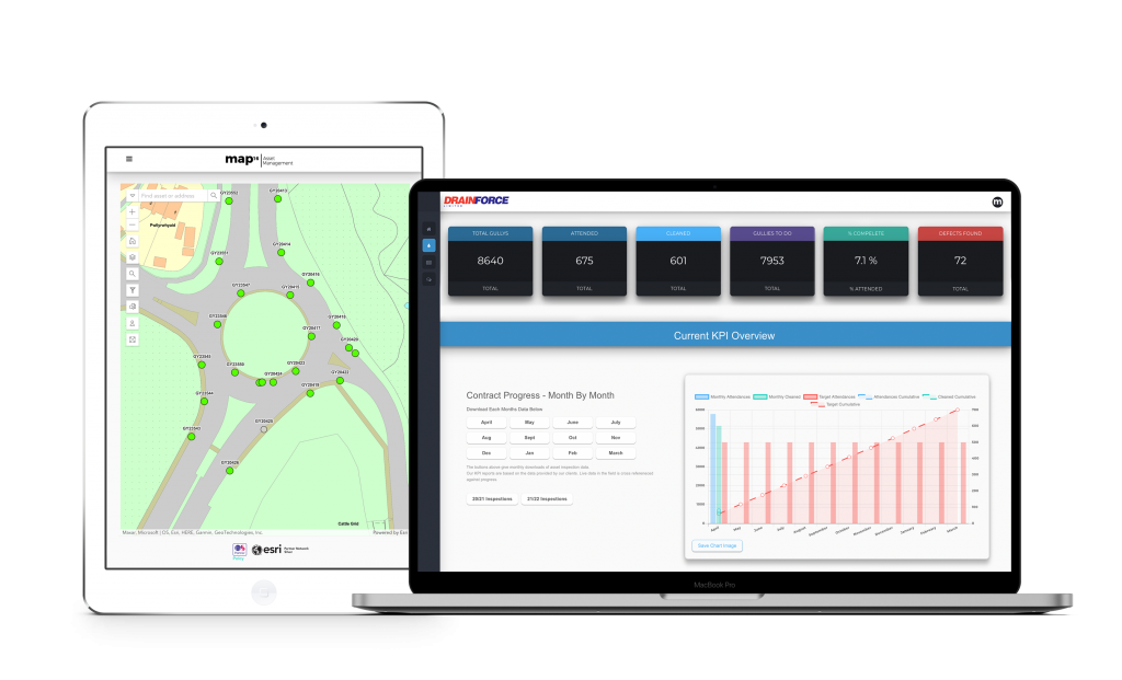
Once the assets had been mapped, the Welsh Government were then able to create and manage their cleansing schedules through their inspection dashboard. Here they were able to break down each part of the network to understand exactly which assets need attending, which assets have been cleaned and any asset defects found.


The Benefits


Increased Efficiency

Collecting data on their assets and being able to manage these all within one platform allowed everyone involved with the strategic road network to become more efficient.

Cost Savings

By increasing efficiency on cleansing schedules, savings were made and costings were reallocated to other areas of the business. Creating an accurate asset inventory will allow further savings when moving to a risk-based cleansing approach. The map16 system provides this solution as standard.

Increased Customer Perception

Ensuring assets on the road network are managed correctly is crucial to the Welsh Government as it directly affects the safety of the public. Being able to manage and monitor their drainage network results in a reduction of the impacts of flooding, and causes less disruption to the general public.

Centralised System

Having asset data collected and managed within one user friendly platform has been a huge benefit to the client. As a result, the data they now have on their assets is accurate and updated live.

Operational Excellence

Having a digital approach to asset management and data collection has improved operations within the road network and allows everyone to work to a higher standard.


grass cutting management

Grass Cutting Management

By Grass Cutting Management

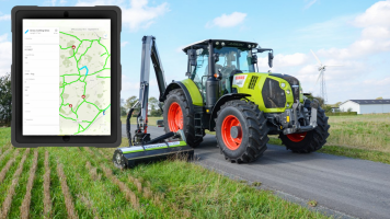
map16 offers a complete digital mapping service that allows it’s users to visualise and interact with areas that need grass cutting management. Areas that require grass cutting can be inspected using tablets by ground crews; they can select areas/lengths and highlight whether works have been completed successfully or not, all backed up with an unlimited amount of images. This simple process can clearly indicate works that have been undertaken across a given area.

This use of technology allows the ground crews to know what has been completed and what needs to be completed next, just by looking at a map. This workflow gives crews less interruption and allows them to cover more area without the need for constant communication with office staff. It’s a simple method to improve productivity.


Office staff can access live data being collected by ground crews instantly by using map views, allowing them to revise or query what work the crews have done. Having this access makes sure that the time is being utilised in the best way.

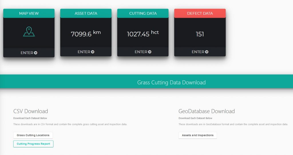
A unique dashboard visualises work completion, whether that be in kilometers or acres, and how much has been completed and how much remains. This way of showing information makes it quick and easy to process exactly where you are with your programme.

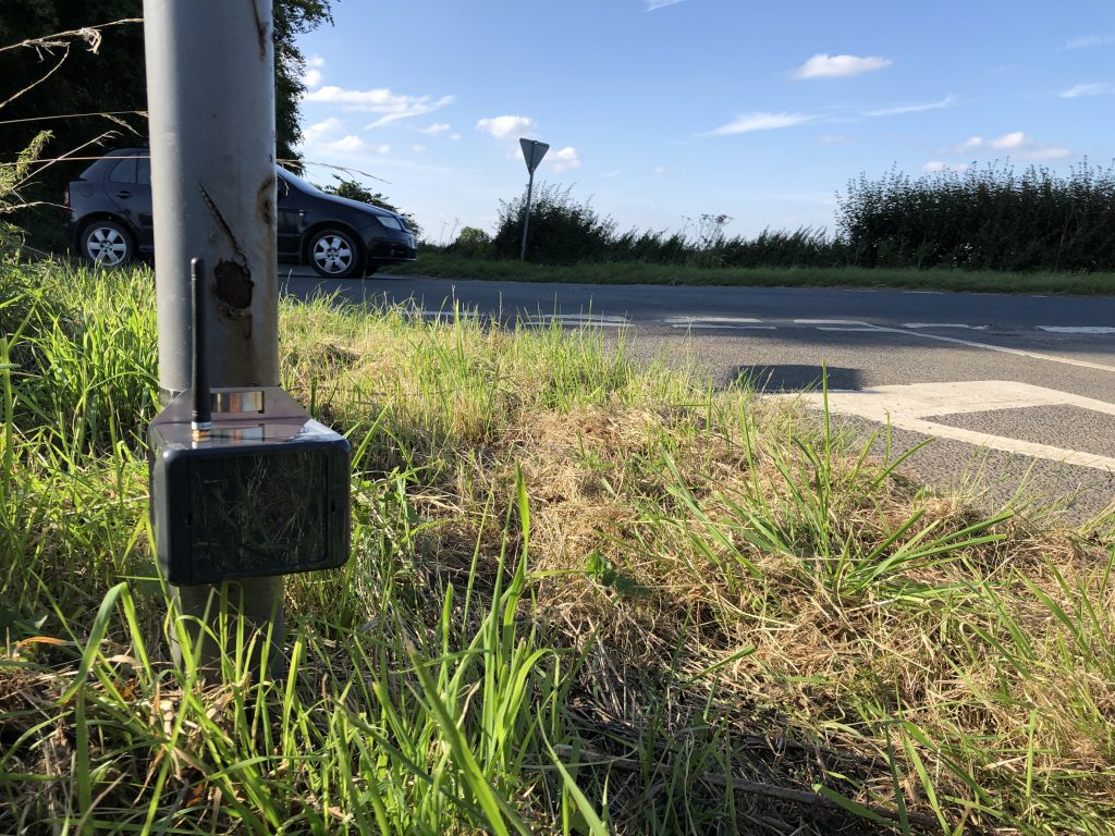
Here at map16, we have also developed the latest in grass cutting management sensor technology. These sensors have the capability to give you precise indications as to when a grass area needs to be cut. Our grass cutting sensor can take into account not only the height of grass but also the density, and with movements everywhere to help the local wildlife by leaving grass areas for as long as possible. This useful piece of technology can help with the process.

Set up can be based entirely around your specific parameters. The use of our system in this area has proven very successful and continues to draw interest – the simplicity of the interface and implementation makes day-to-day work straightforward for everyone.

CONTACT US

grit-bin-management

Improving Grit Bin Management

By Grit Bin Management

After a busy and successful 2019, we have kicked off the year with Volker Highways writing an article and CCS Best Practise Hub (Considerate Construction Scheme) posting it to their website, on how our system simplifies grit bin management, as well as how this way of working makes for everyday public safety, convenient and effective for both workers and the public.

CCS is a crucial and cornerstone faculty that was set up by the construction industry to improve its image and any direct/indirect activities that impact the industry. This includes the latest news and upcoming concepts.

grit bin

By having your grit bin assets within map16’s system, we provide dedicated dashboards, graphs and figures to visually show in-office personnel exactly what’s happening with resources, giving the option to download the data or to use the dashboard as the main hub – however you need to access the information, our system makes it seamless.

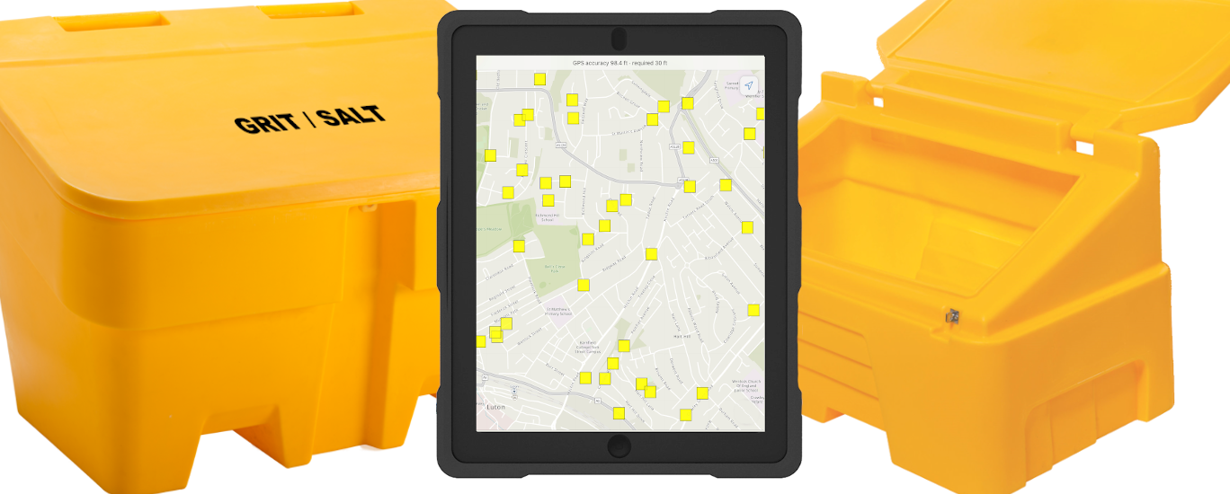
With the use of tablets, the crews inspect and can visualise the condition, salt level, defects and other necessary attributes relating to the assets. This reflects back to the office and with the ability to take unlimited photos as evidence, this allows authorities to stay on top of grit bin management.

‘Creates an effortless workstream


The design is tailored to meet our client’s needs with constant support from map16. As a result, this provides the contract operatives and local authorities the latest, up-to-date information about their assets, along with any urgent works that need to be carried out.

grit bin dashboard

Clients can have complete control over their system with our innovative and modern use of technology. This greatly increases working efficiency, cutting time to process reactive works against the assets. With the workforce’s insight and knowledge of the area and regular routine maintenance, this creates an effortless workstream for all parties and with this comes fewer causalities and greater precision.

Please follow the link for the original article: https://ccsbestpractice.org.uk/entries/improving-public-road-safety/


Contact Us

Term maintenance contracts

Term Maintenance Contracts, map16 a perfect match

By Map16, Solutions

 A lightweight, easily adaptable solution for collecting and managing your term maintenance assets


Drainage  Grit Bin Management  Safety Barriers  Tree Management  invasive weeds  Grass Cutting  Reactive Works  Planned Works  Traffic Signs


Managing assets on Term maintenance contracts can currently mean using different systems for each asset or workstream. This is often costly and cumbersome to train staff and get a seamless flow of data.

There are often instances on term maintenance contracts when inspections/assessments are carried out on paper which can result in inaccuracies and laborious admin time, as your current system has not got the functionality to cope with a multitude of different assets or work types.

Custom designed to meet each term maintenance contractual requirements while integrating every asset into one system

Our system is design to collect and manage any asset imaginable. Importantly not only do we have the ability and flexibility to create an asset data collection system for any type of  asset but it also has a bespoke designed dashboard that has your key asset data accessible within two clicks.

What makes map16 unique is that we have the ability to not only provide you an asset management system but we also have the ability to give you access to key KPI information using the data you have collected to manage your performance on your contracts on your own bespoke dashboard.

One unified central dashboard gives client the ability to see any asset or workstream. Check out some of our term maintenance contract solutions below or CLICK HERE TO SEE ALL OUT SOLTUIONS;


DrainageGully Maintenance 

map16 has designed more than just a gully maintenance system. We are capable of collecting all drainage assets and inspection data, including routine cleansing of gullys, catchpits, soakaways, weir kerbs, grips, cattle grids and any other requirements. These can all be linked to mapped Linear drainage features to complete the most detailed picture of your network. A perfect drainage solution for term maintenance contracts where flexibility is vital.

Our solution is focussed on a risk based approach. Making key decision based on accurate data. Integrating all risk data including EA flood layers, silt levels, elevation models and insurance claims. Prioritise, optimise and reduce.

EXPLORE OUR SOLUTION
Solutions - Drainage


Grit Bin Management   Grit Bin Management

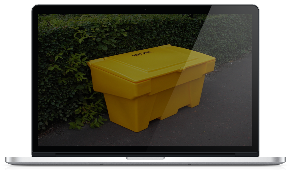
map16 provides the complete grit bin management solution. Map all grit bin locations and collect digital grit bin filling records. Create bespoke inspection records with the ability to attach images or videos. Reduce operational costs by using a risk based approach to grit bin replenishment regimes.

FIND OUT MORE
Solutions - Grit Bins


Safety Barriers    VRS – Safety Barriers

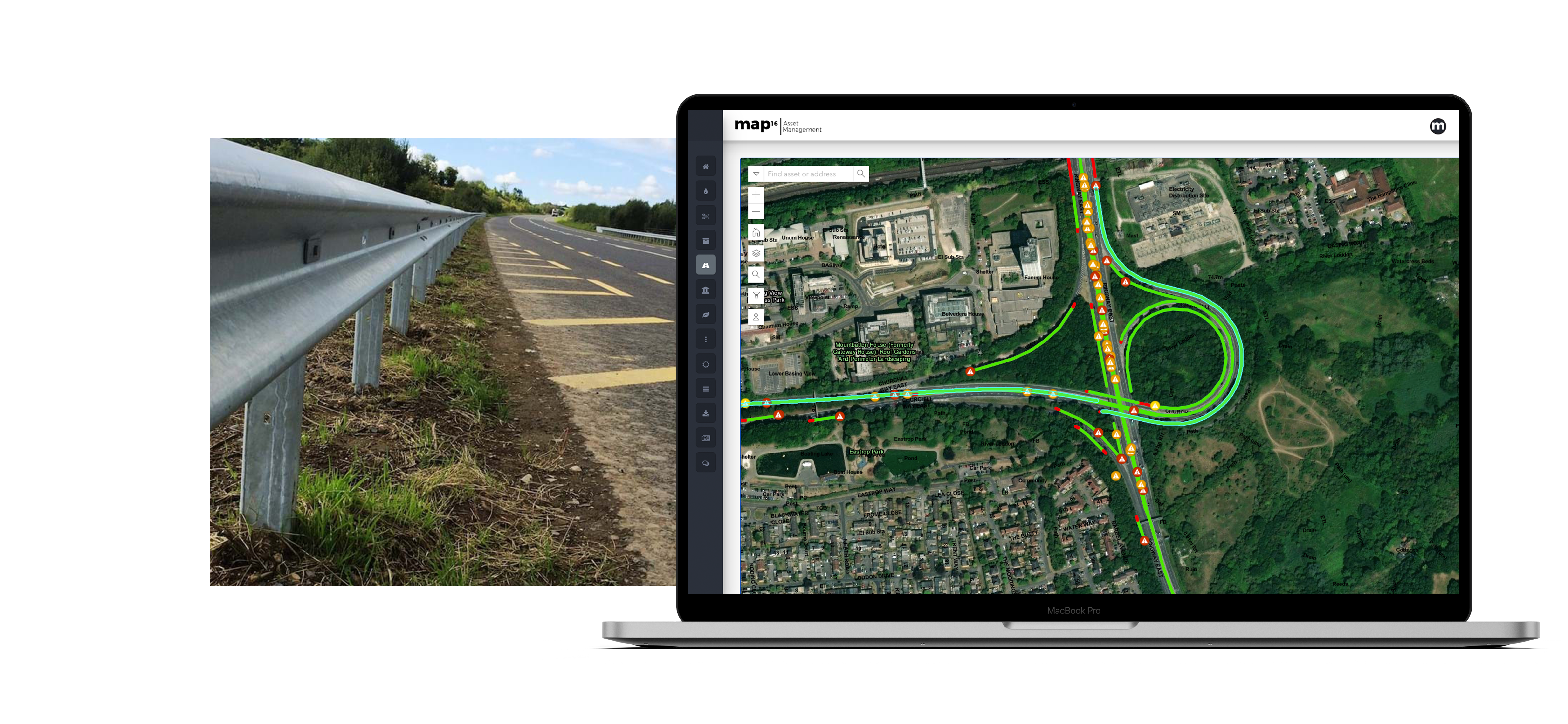
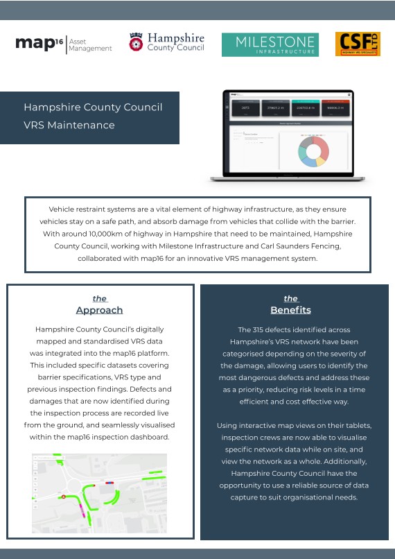
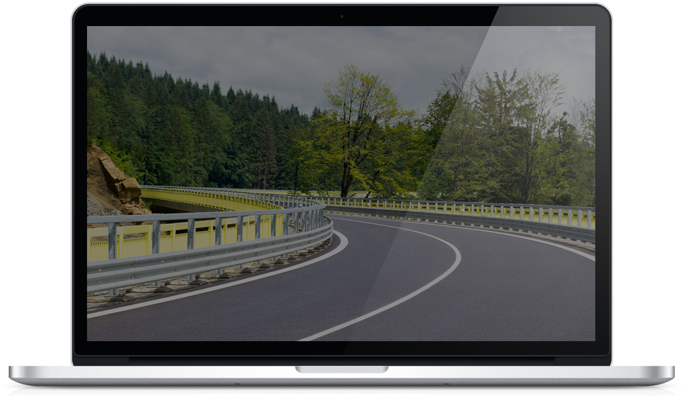
map16 provides the complete highway safety barrier mapping and management solution. Map all locations locations and collect digital inspection records. Create bespoke inspection records with the ability to attach images or videos. Our user friendly map interface shows live updates of current maintenance activities. It gives the ability to view assets, live inspections and historic data. Query, export and create maps. Remove the need for paper records, automate start and finish eastings and northing. Become more efficient using map16

EXPLORE OUR SOLUTIONS
Solutions - Safety Barriers


Tree ManagementTree Management

map16 provides a complete solution for tree management to the BS 5837 specification. Collect visualise and report. Our mobile app provides easy functionality, with increased user productivity whilst still capturing key tree data. Work offline anywhere and sync data when available.

Our tree management dashboard brings asset and inspection data together in a map based view, which provides decision makers with all the facts in one place. Smart visualisation based on maturity, height, canopy size, condition and environmental variables giving a broader perspective when making key decisions.

FIND OUT MORE

Solutions - Tree Management


invasive weedsInvasive Weeds

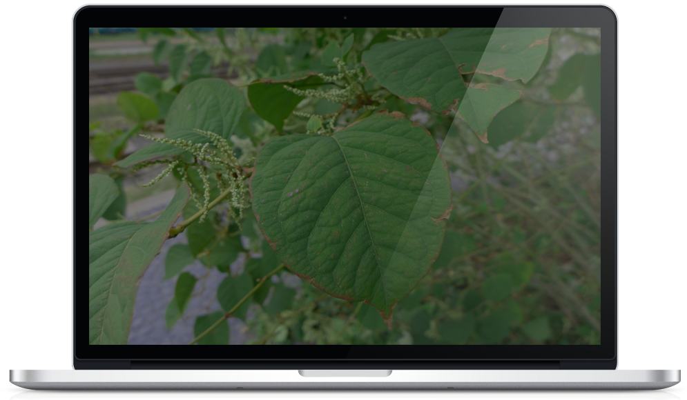
map16 provides the complete solution for invasive weed mapping and management. Create accurate records of the area covered by the all types of invasive weeds, including Japanese Knotweed, Giant Hogweed, Mares Tail and Himalayan Balsam. Produce data in a GIS polygon to automatically calculate m2 coverage and shape on the highway. Improve asset inventories by logging new sites against existing client IDs, including collecting images automatically linked to collection data.

EXPLORE OUR SOLUTION
map16 - invasive weeds


Grass Cutting   Grass Cutting

map16 provides the complete solution for grass cutting mapping and management. Utilise mapping technology to increase awareness and efficiency, bringing grass cutting into the digital age. Map grass cutting routes and areas, create bespoke cutting records with the ability to attach images or videos.

FIND OUT MORE

Solutions - Grass Cutting


Reactive Works  Planned Works   Planned & Reactive Works

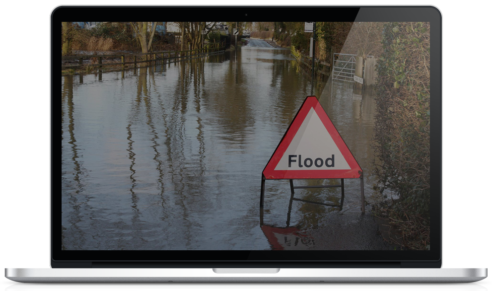
Our planned works solution covers all additional works being carried out on the highways networks. This includes high pressure jetting, CCTV drainage, remedial repairs and much more. We provide ruggedised mobile tablets with latest mobile data collection app. Collect all task order jobs, create bespoke records with the ability to map the surrounding infrastructure whilst on site. Creation of automated task logs, saving admin resource.

EXPLORE OUR SOLUTION
Solutions - Planned And Reactive

Gully Management System

Get More Out Of Your Gully Management System

By Gully Maintenance, Map16, Mobile Collection, Solutions, Web Dashboard

Here at map16 we wanted a gully management system that would give our clients more than ever before. Not just access to live data, but a system where that data has been visualised and made easily accessible for the every day user. All the day to day analysis and tabulation has already been done for you, just export it.

A gully management system that saves time throughout the day and never becomes an onerous chore to use.

The key features of our gully management system are outline below;

Mobile Collection

Our innovative new way of collecting data, allows a one time setup, enabling constant working, without the need for creating separate work packages. Set custom map visualisations, such as parked car revisits to enable teams to get key information live in the field. Powered by the world leader in GIS technology, Esri.

 map16 provides a mobile solution designed to increase efficiency and reduce cost. Collect new assets and live inspections. Use iOS or Android.
map16-mobile-collection
    • End Of Back Room Processing
    • End Of Work Packages
    • One Time Setup
    • Work Offline
    • Automated Revisit Maps
  • OS Mastermap As Standard


Inspection Dashboards

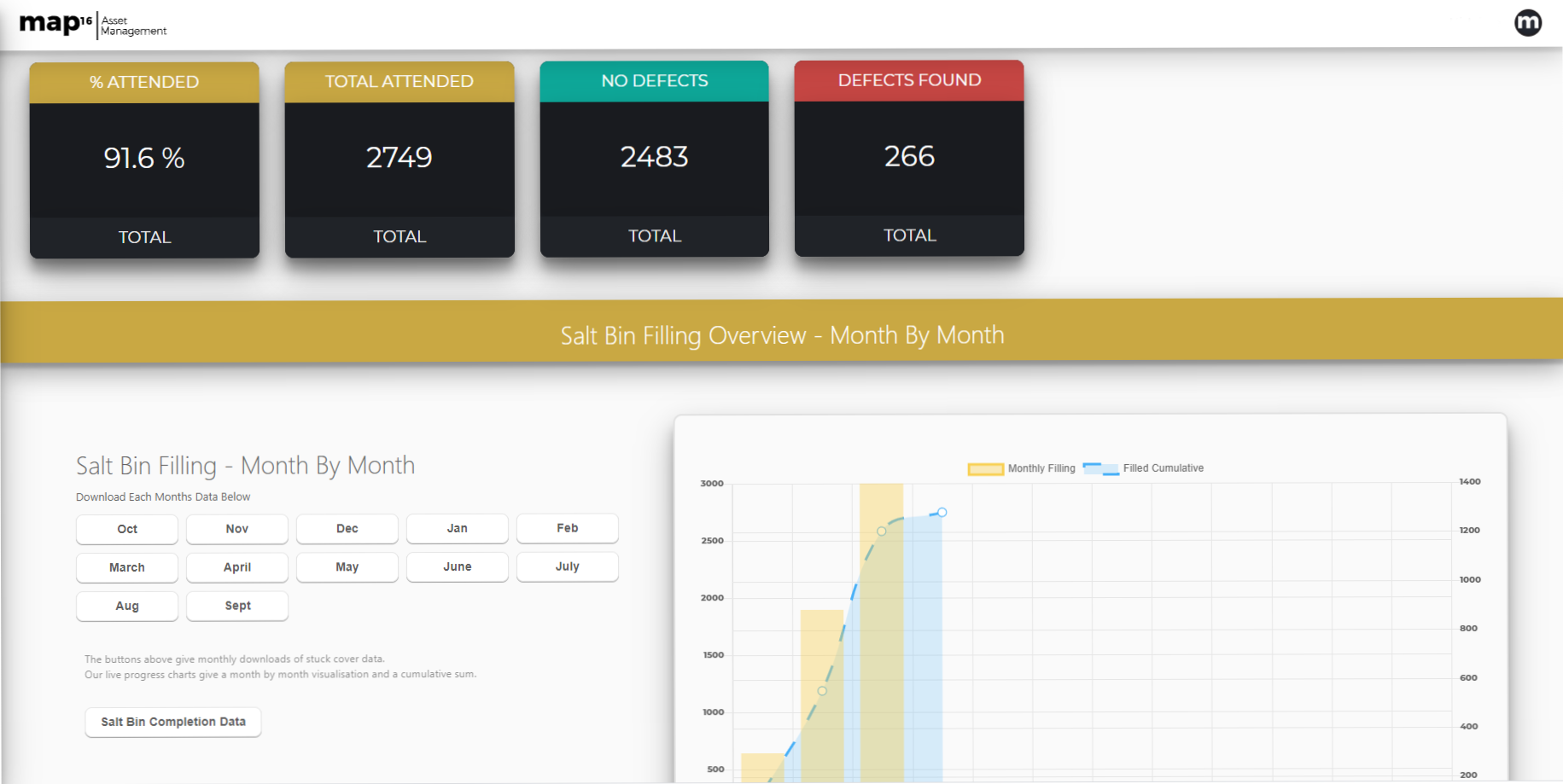
Designed to give operational staff access to live reports, that have been created to reduce wasted time and increase efficiency. Change the way you work, let map16 dashboards do the work for you.

View key operational reports. Live KPI updates, crew productivity reports, showing day by day totals. Access all defect reports via a one click download buttons. Or even an automated daily email.
 An inspection dashboard we always wanted
    • KPI Reporting
    • Crew Productivity Reports
    • Defect & Silt Level Reporting
    • Road By Road Reporting

Find Out More

map16 - Inspection Dashboard


Asset Dashboard

View and interrogate your asset data like never before, access any data within 2 clicks. Here at map16, we provide a simplified and easy to use asset management system, where clients can visualise and export asset attribute data with a click of a button. Automatic asset inventory creation, keeps track of new and existing assets on the network.
Use a system that will manage and visualise your asset data for you
    • Visual Overview Of Asset Figures
    • Detailed Asset Reporting
    • Parish By Parish Reporting (Or Any Other Geospatial Boundary)
    • Live Inventory Creation

Find Out More

map16 - Asset Dashboard


Map Views

A mapping interface that gives you access to live inspection data, historic data and detailed reporting tools. Designed for all assets and work streams. Increase user interaction with unlimited user access and the simplicity of the workflow. Generate detailed reports to answer queries across your highway network.

A mapping interface design for users by users
    • Live mapping interface
    • Query & Filter Live Data
    • View Live & Historic Inspections
    • Create Detailed Reports
    • Street View Integration
  • Answer Public Queries In Seconds

Find Out More

map16 - map view


Risk Level Dashboards

As a standard map16 provides a risk analysis of your highway assets. Increase efficiency by adopting a risk based approach. Use map16 risk dashboards to visualise risk levels anywhere on your highway network

In a risk based maintenance regime geospatial information can be used to create a targeted and more cost-effective approach. From analysis of simple historic data to flood zoning, population density, slope data, tree fall and insurance claims we create a detailed risk model of your asset datasets. Feed live inspection data into the risk model to give constant risk analysis of the network.
Make operational decisions based on risk
  • Visual Overview Of Risk Data
  • Easy Export Of Key Data
  • Live Road By Road Risk Updates
  • Risk Level MapView

Find Out Moremap16 - Risk Level Dashboard

To find out more about our drainage solutions, click on the link below.

Our Drainage Solutions

100% electronic drainage data

100% Electronic Drainage data

By Map16, Mobile Collection, Planned And Reactive, Solutions, Web Dashboard

When it comes to highway drainage contracts there is always a number of key workstreams involved;

  1. Routine Cleansing Of Highway Assets
  2. Planned Jetting And CCTV Works
  3. Emergency Response

The routine cleansing is normally electronically mapped as standard, showing key inspection information including silt levels and conditional information of highway assets.

However planned jetting, cctv works and emergency responses are often neglected when it comes to GIS data capture. These could be collected via paperwork and archived forever.

When 100% of drainage data is mapped and analysed, it can provided vital information about the condition of the highway network. 

Here at map16 we provided a complete solution to map and collect 100% of all drainage works carried out on any highways network.  All our systems come with the ability to map planned jetting works and emergency call outs at no extra cost. Custom dashboards are designed to give our clients a clear view of exactly what works being carried out. Each system is tailored to our clients every needs.


map16 – Jetting/CCTV works dashboard

map16 – Reactive works dashboard


Never before has it been so easy to map the hidden data. Every iPad has the ability to collect the standard asset cleansing data, as well as jetting and emergency responses.

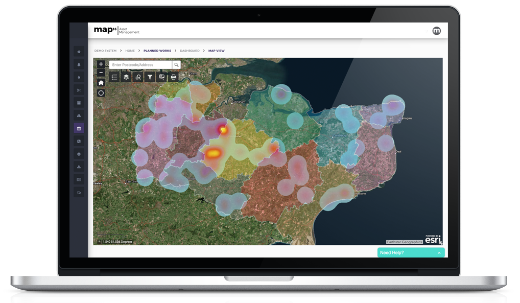
Hotspot analysis can show where there is an increase in floods, blocked drainage or CCTV works. All data is linked to live data from map16 mobile pads.

map16 – Hotspot analysis of drainage works

Once all drainage works are collected using the map16 system, it can be used to create detailed hotspot analysis of works being carried out. Analysis of this data gives a clear indication where clients are spending increased time and resources.


map16 – Visualisation of drainage works by type


When in comes to jetting and cctv works, teams on the ground can log the position of their job, then map all the highways assets they have been working on. This could include, gullys, catchpits, soakaways, linear drainage, beany blocks and any other assets required.

Create a clear picture of assets being maintained outside of the routine cleansing. 

Asset mapping for all drainage works


When it comes to emergency response’s, map16 can provide an easy way to create a clear picture across your highway network. Map any emergency response, from flooding, blocked gully’s, oil spills, blood clean ups and any others required. Our system will show clusters and hotspots of all emergency works.


map16 – Emergency response clusters

Get in touch and see what we can offer

0800 772 396