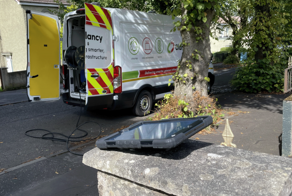
Change the way invasive weed information is collected. Create 100% electronic data. Generate bespoke weed and treatment records with the ability to attach images or videos. Our user friendly mobile collection interface allow teams to work with or without phone signal. Become more efficient using map16.
Invasive Weed Management
Mapping, Inspection & Treatment Solution
Create A Complete Electronic Inventory
Improve asset inventories by logging new sites against existing client IDs, including collecting images automatically linked to collection data. Follow your teams progress day by day with live updates from the field. Improve operational efficiency by creating automated invasive weed reporting.
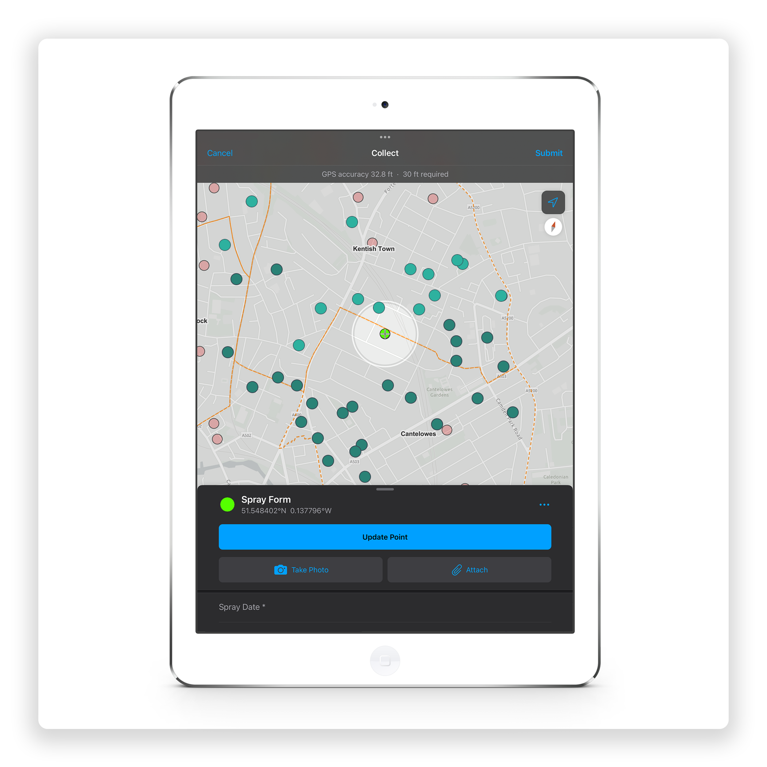
Mobile Collection
Use iOS or Android devices to log data.
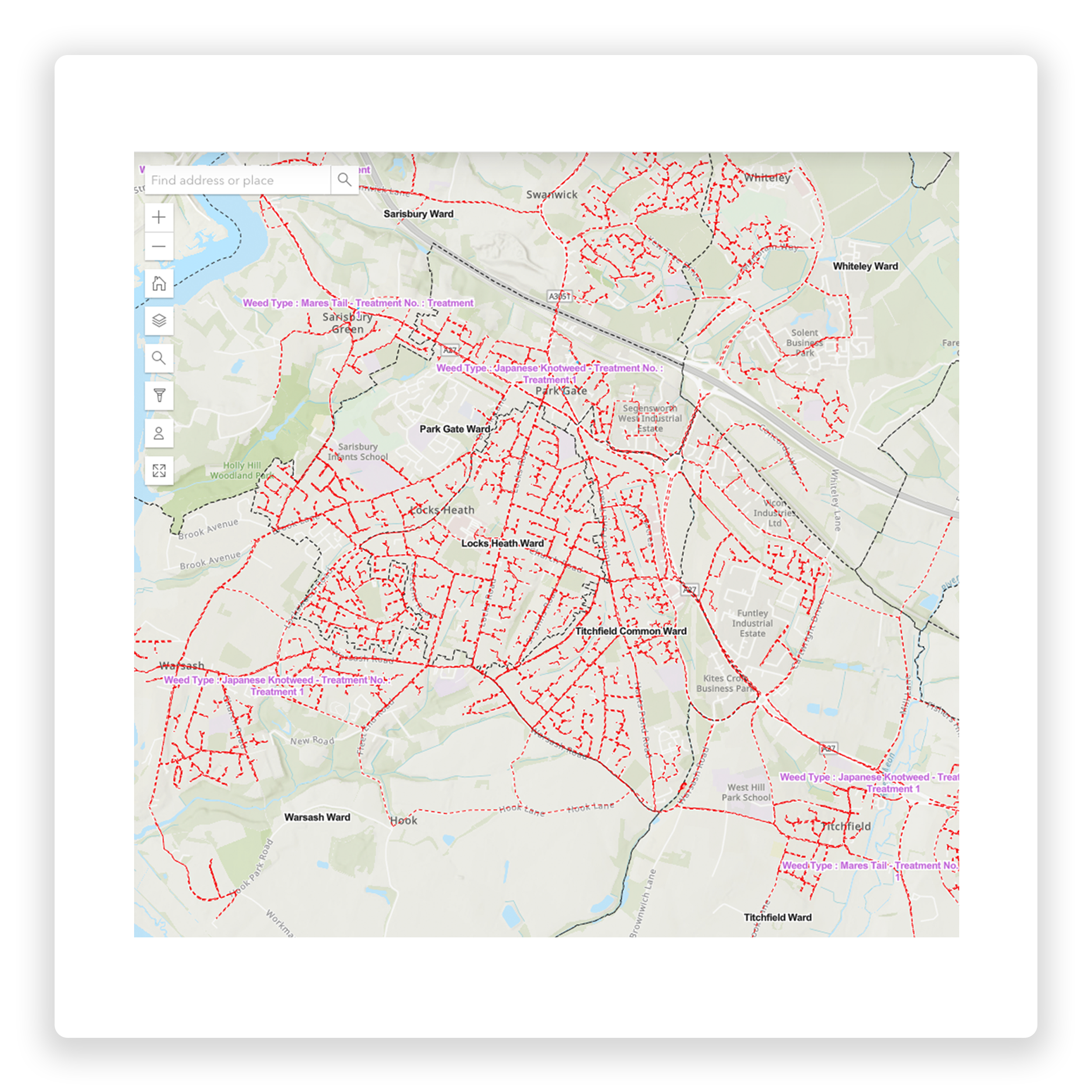
Mapping and Inspections
Create a complete electronic inventory.
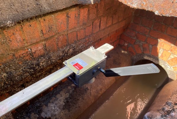
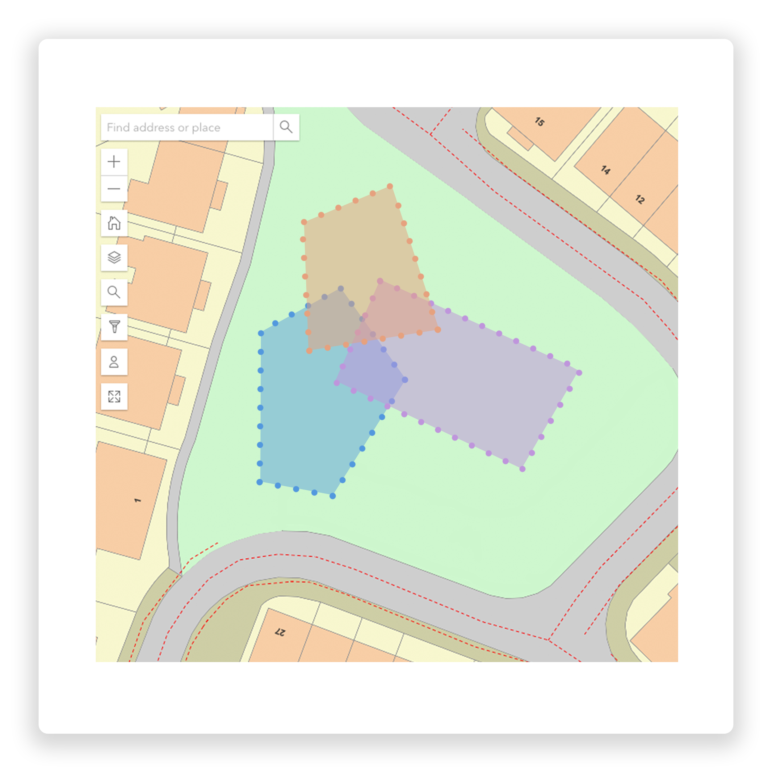
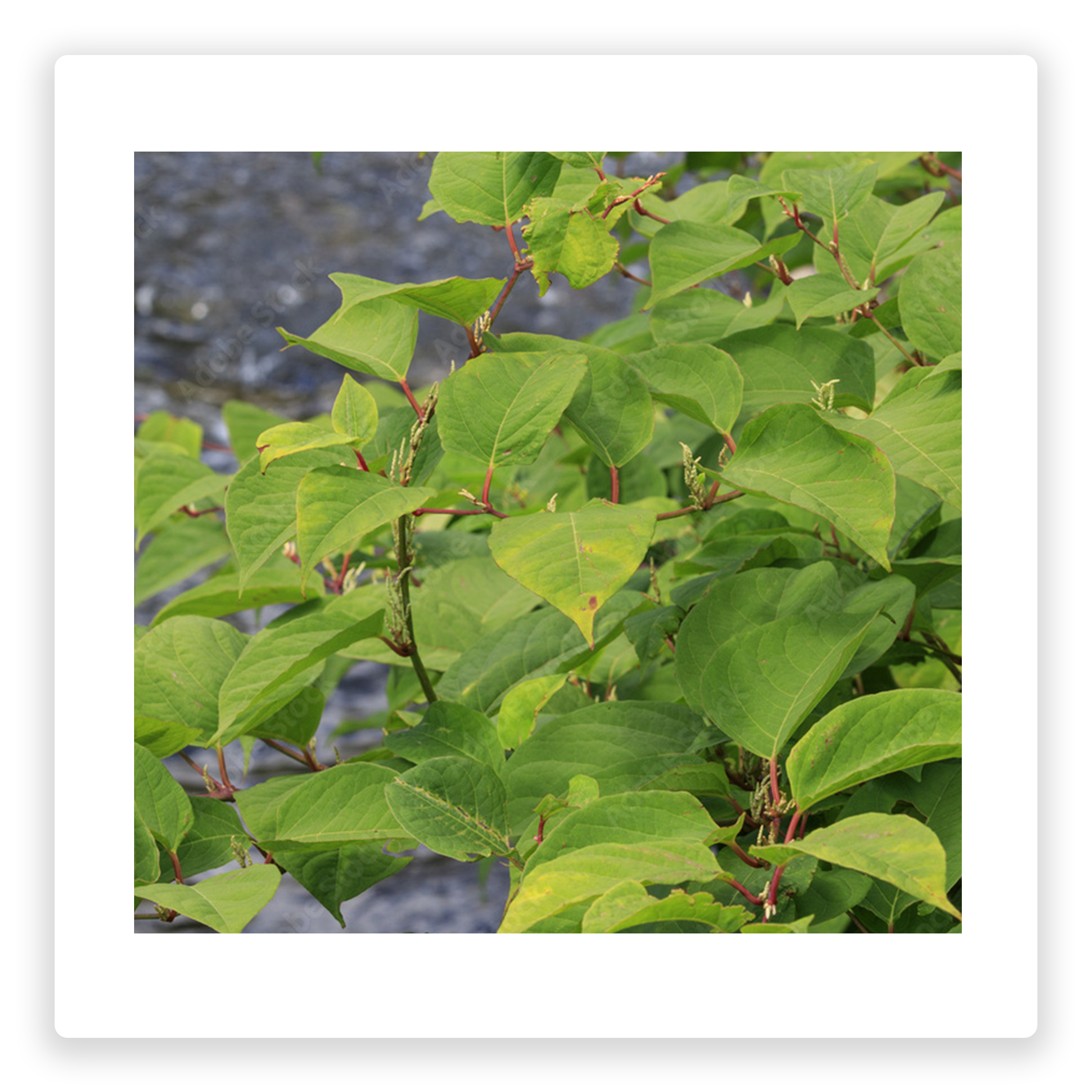
Accurately map every invasive weed location across your network. Collect invasive weed information against the industry standard requirements. This includes weeds such as Japanese Knotweed, Giant Hogweed, Mares Tail and Himalayan Balsam. Map exact square meterage as you collect.
Web Dashboard
Look deep into nature, and your understanding will become clearer.
map16 provide bespoke web dashboards designed around invasive weed requirements. This includes treatment progress monitoring, with the ability to monitor teams progress live. Transform the way you collect and manage your invasive weed data.
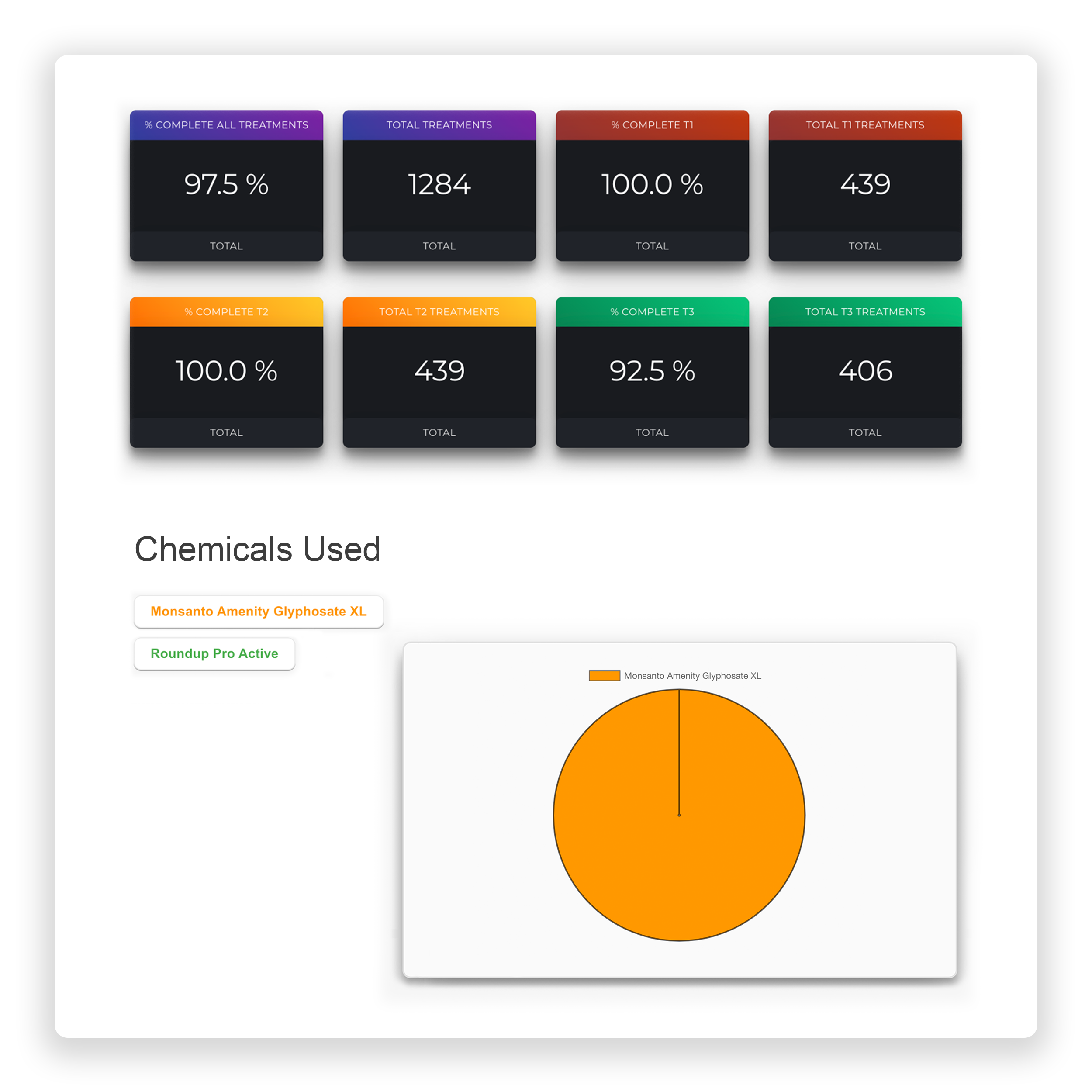
Treatment Records
Let the data unlock your treatment effectiveness.
Use technology to become smarter with your treatment programmes. Use the map16 system to map each treatment, including information on progress and current area. Over time, visualise how the treatments are reducing the size of the invasive weeds, calculating % reductions.
Surveys
map16 can provide highly qualified teams to survey county wide areas.
We can provide teams of highly trained invasive weed specialists who can inspect and map known sites, outputting definitive and accurate inventory of invasive weeds on you network.
510
Invasive Weeds Mapped
1,414
Weeds Sprayed
15,000
Area Treated (m2)
”Using the map16 system has enabled us to achieve higher work outputs due to the time saved routing/plotting sites. The efficiencies for the teams on site are further enhanced by the real-time data being fed back into the office and direct to clients, which can be exported and analysed far more efficiently and comprehensively than our previous system. The support from the team at map16 and their understanding of the requirement have been unparalleled.
Stephen JohnCharlton Environmental
Charlton Environmental
Case study
Responsible for controlling and treating of invasive weeds around public areas such as street pavements, kerbs, central reservations, subways, shopping centres and parks, Charlton Environmental needed an efficient way to map and collect inspection and treatment records.
The Approach
map16 designed a system to do just this. Crews on the ground completing weed sprays can send maintenance data to the system live from the site, updating a bespoke designed service dashboard displaying data such as the total amounts of chemicals used, and the total number of sites completed. Users can navigate a map view dashboard to view specific spraying sites and spraying records, with detailed report information for specific sites available at the click of a button.
The Benefits
With the completely electronic data collection system, Charlton Environmental can ensure their data is up to date and accurate, ensuring maximum safety for the public and increasing the workforce productivity and efficiency.
Our Happy Clients
See how our diverse range of clients that have adopted the map16 system as an integral part of their asset management solutions.
Get In Touch
See Our Latest News
Keep up to date with our latest news. See all the stories in our news feed below, or check out the latest new page.
Explore